Impressions from leg 1 of the Insight cruise

Jonathan Ford (ESR 2), Davide Mencaroni (ESR 6), William Meservy (ESR 12) | @ RV Sarmiento de Gamboa (April/May 2018)

One of the goals of SLATE is to better understand geohazards related to submarine landslides. To achieve this, the network actively promotes the exploration of marine settings and SLATE members are encouraged to take part in oceanographic research cruises. We recently participated in the INSIGHT (Leg 1) cruise onboard the Sarmiento de Gamboa alongside principal investigators Eulália Gracia and Roger Urgeles.

The general objective of INSIGHT is to image and sample the seafloor and its subsurface to better understand the earthquake and tsunami hazard in the Gulf of Cadiz. To accomplish this, the Sarmiento de Gamboa was outfitted with seismic guns and streamers, sub-bottom profiler equipment, the AUV (autonomous underwater vehicle) “Abyss” from GEOMAR, and equipment to collect gravity cores of seafloor sediments.

Study areas

The cruise departed from Vigo, Spain on 29th April and spent several days at each area of interest collecting data:

Marques de Pombal Fault Zone

An active thrust fault thought to be responsible for the 1755 Lisbon earthquake and resulting tsunami. This area is thought to have a particularly high submarine landslide hazard as there is evidence of repeated slope failure associated with the fault in the recent geologic record.

Lineament South (west)

The west side of Lineament South, which marks the Eurasian – African plate boundary, was imaged and cored at several locations. Lineament South trends WNW-ESE and is a 3-6 km wide, dextral, strike-slip fault extending the length of the Gulf of Cadiz and cutting the entire sedimentary sequence, as well as separating two different types of oceanic crust. Portions of its western half that were previously explored during other campaigns found the formation of gas hydrates and presence of mud volcanoes: evidence of fluids rising from depth.

Lineament South (east)

Close to the coast of Morocco, the eastern half of Lineament South traverses the accretionary wedge where the Eurasian plate subducts under the African plate. Additionally, just north of the fault, two large mud volcanoes and associated radial landslides were surveyed by the AUV.

Portimao Bank

A Mesozoic-aged, inverted half-graben that is flanked by multiple submarine landslides on its south side. These slides may be associated with the upwelling of a large, evaporitic dome structure called the Don Carlos Diapir. The Portimao Bank seamount is bound by active thrust faults on its north and south ends.

Science onboard

During the expedition, all three of us assisted with gravity core acquisition, which involved cutting, sealing, and labelling each core into 1 m sections for further examination at the University of Barcelona. Here, Davide and William ran each unopened core through a Multi-Sensor Core Logger to measure geophysical properties like density, P-wave velocity, resistivity, and magnetic susceptibility. Future analyses require the cores be split, visually described, and then stored in a refrigerated archive at the Institute of Marine Science of Barcelona.

Additionally, each of us had different roles on the vessel:

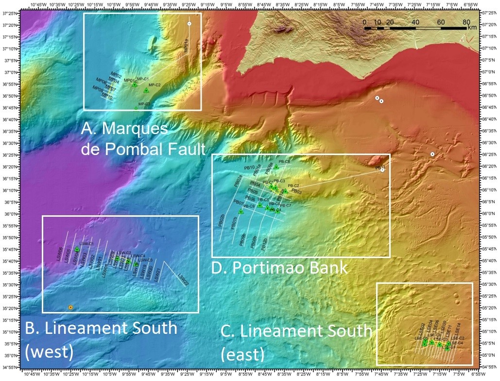
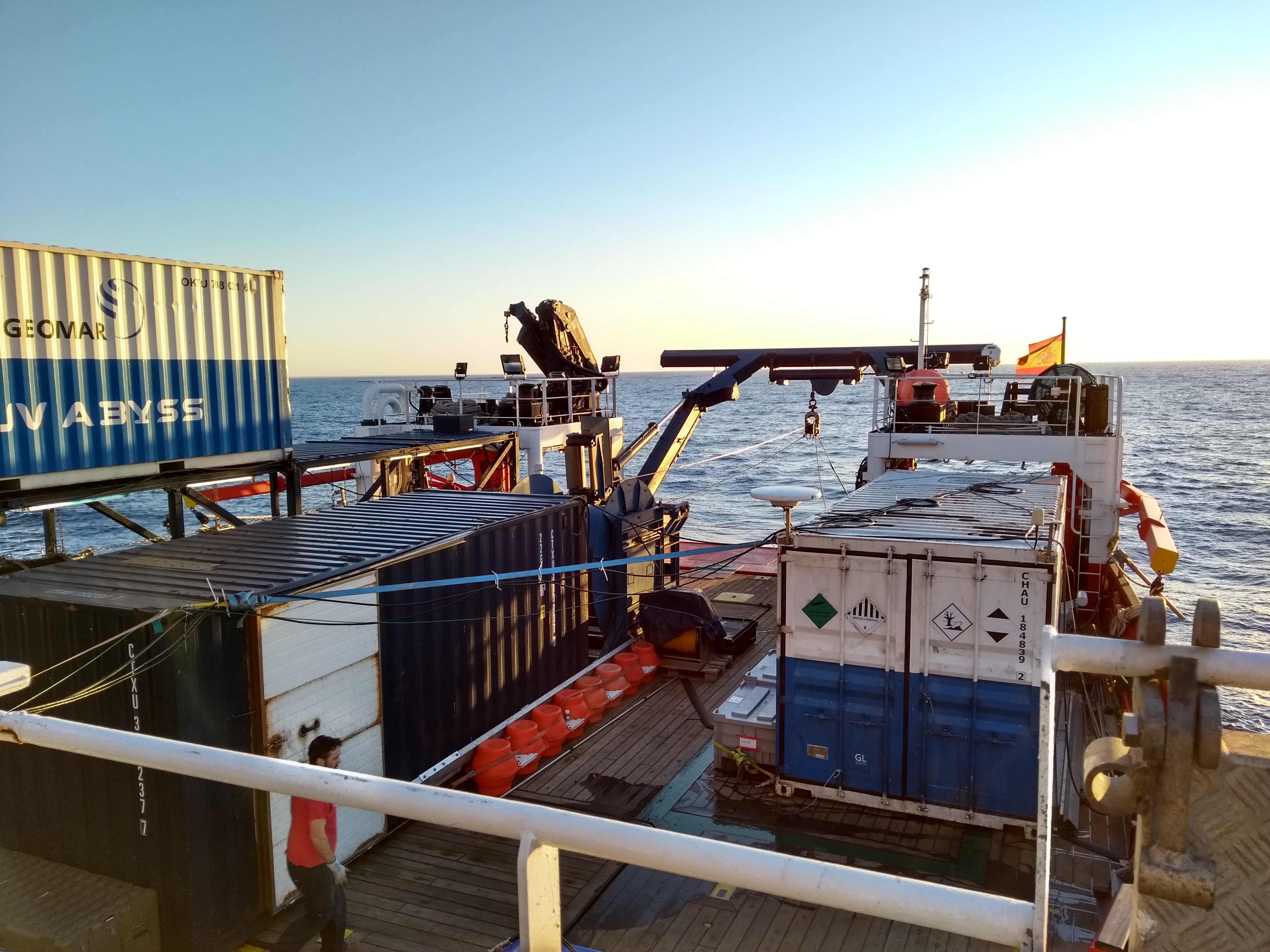
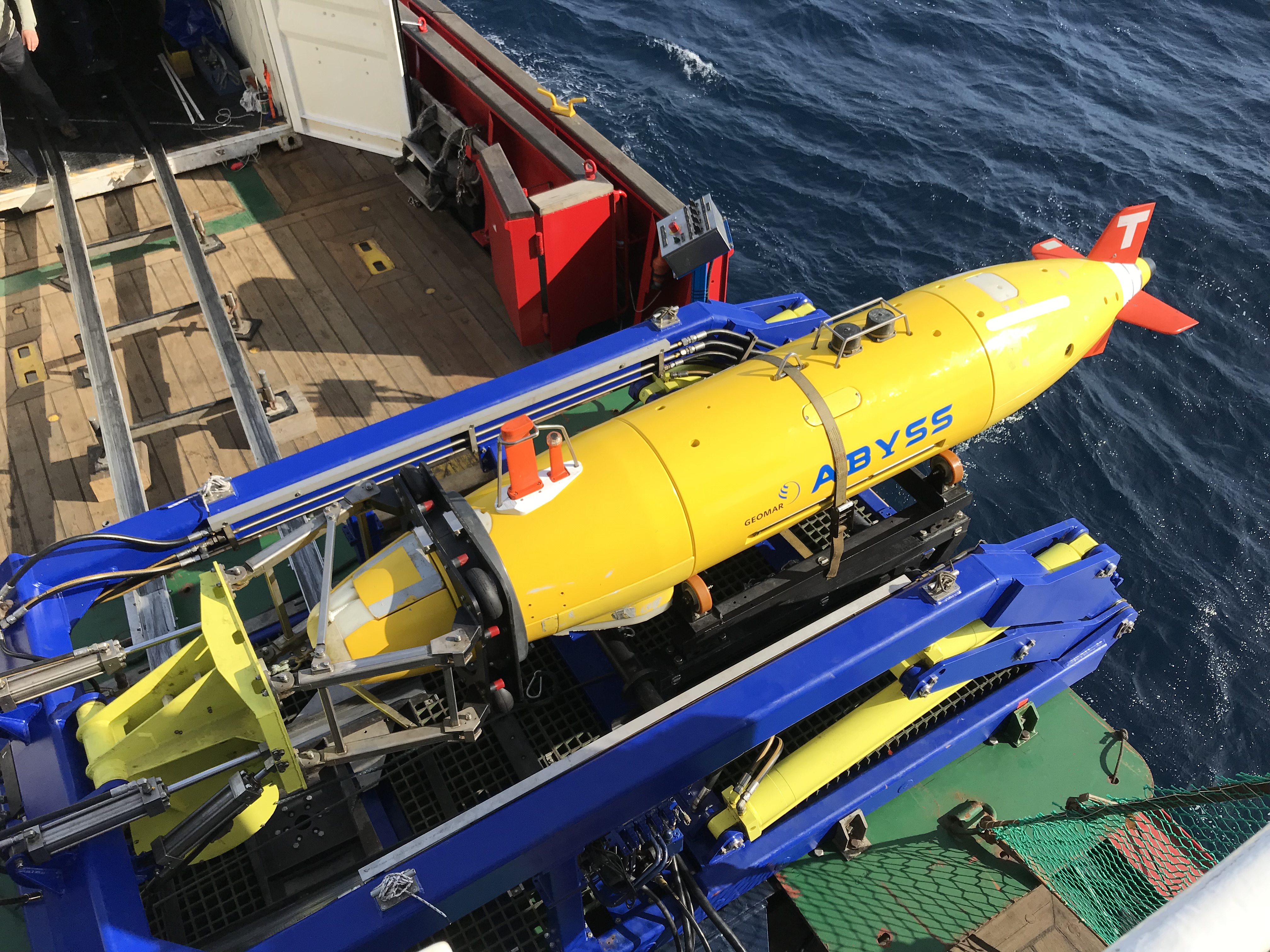
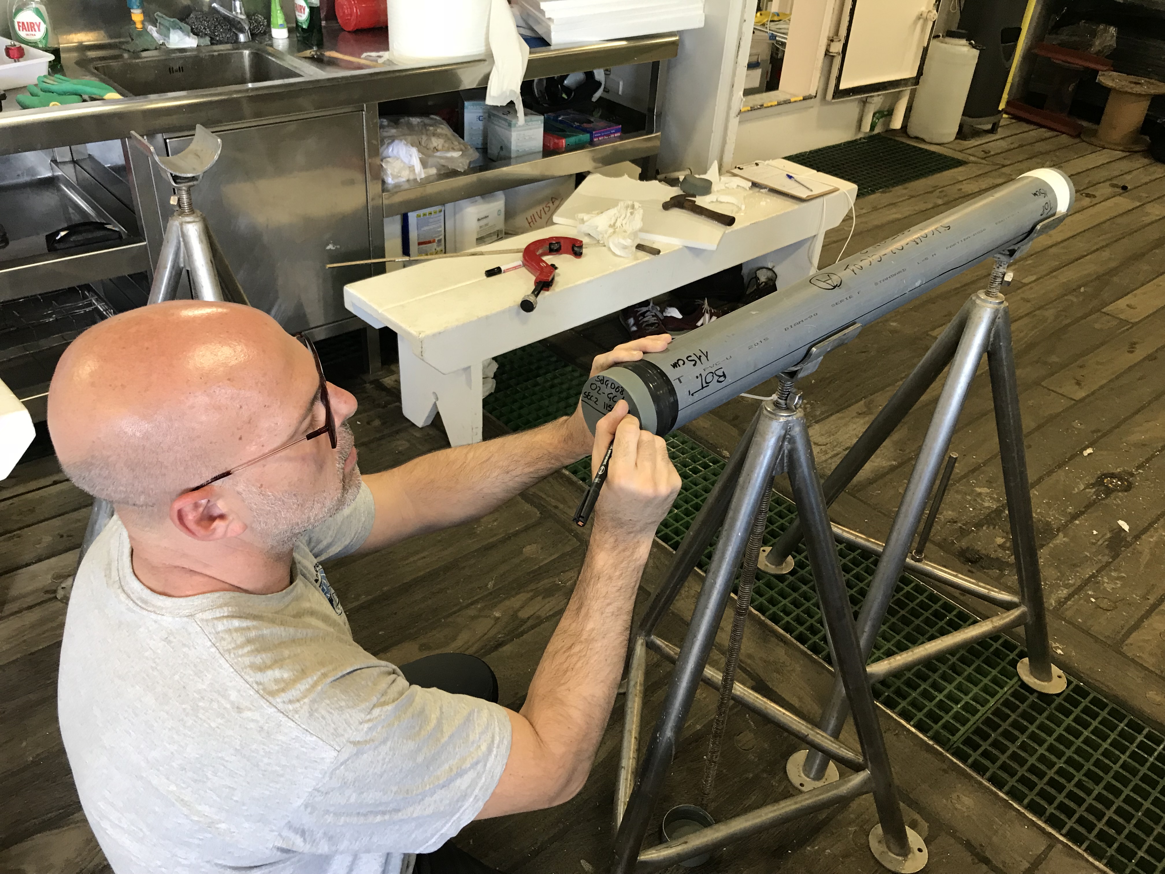
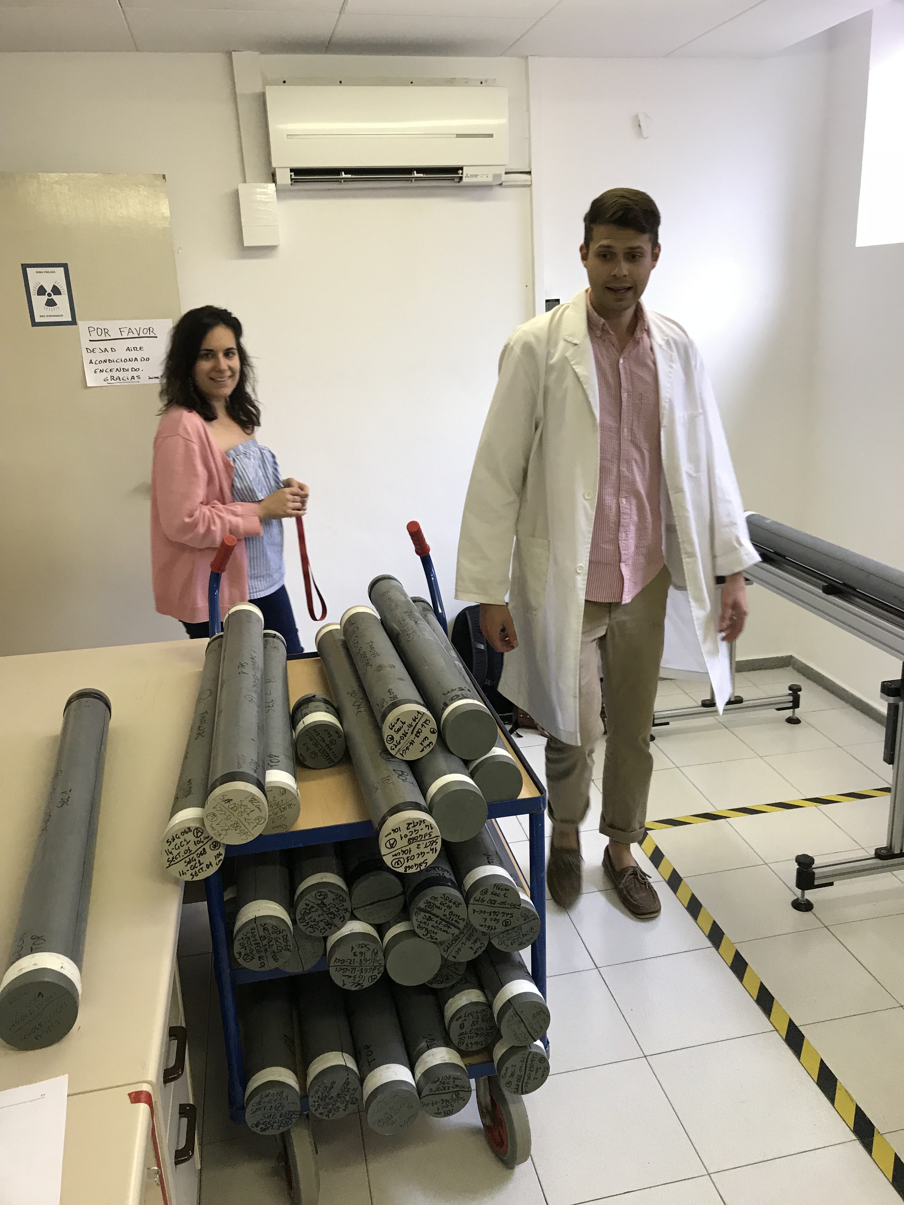
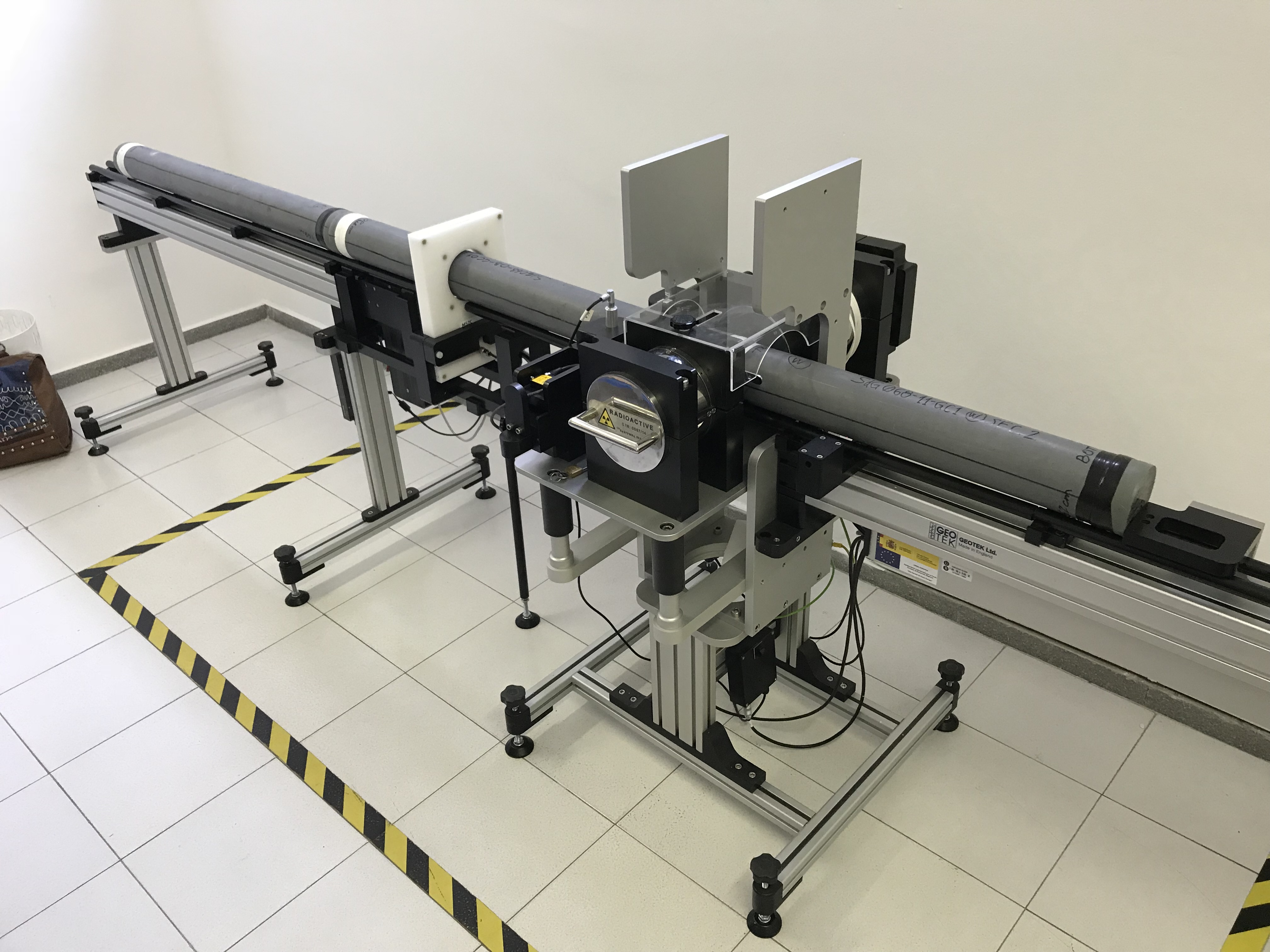
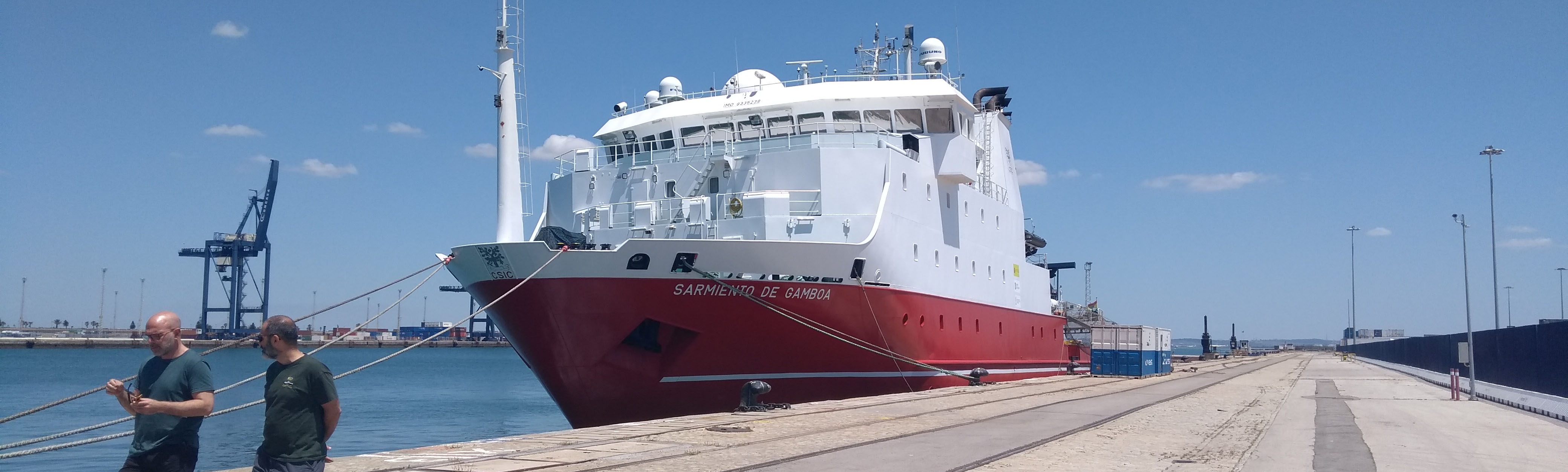
"I worked with the acoustic instrumentation. The Sarmiento de Gamboa is equipped with multibeam and Parasound echosounders that allowed us to obtain high-resolution bathymetric images (with less detail, but greater coverage than the AUV) and sub-bottom profiles of the first few metres of sediment for each area of investigation and during transits. I was responsible for data acquisition, monitoring, and maintaining the observers logs. I also experimented with some preliminary filtering on the Parasound data to improve the imaging of the stratigraphy as much as possible."
Davide Mencaroni
ESR 6
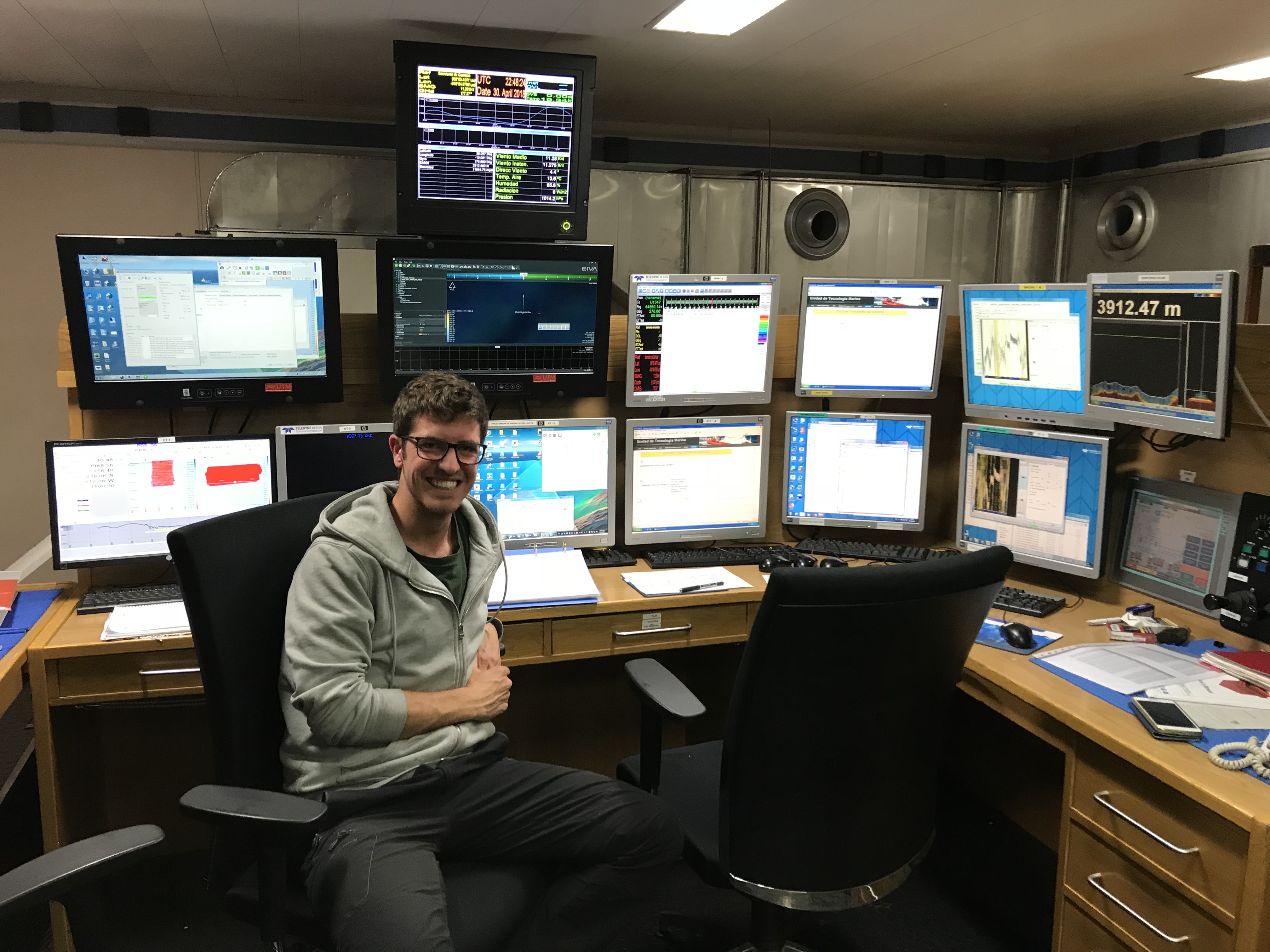
"My primary duty was to initiate and monitor the multi-channel seismic acquisition software. For each new line, after the streamers and airguns were deployed by the crew, I would initiate a “soft start” or step-by-step increase of the number of guns being fired until the entire array could be fired simultaneously every 6-7 seconds. Gradual airgun buildups like this are common protocol for seismic exploration and are done to gently warn away nearby marine mammals that may be uncomfortable with the sound of the airguns. After the airguns were fully engaged, my responsibilities would shift to ensuring that the ship was on course and initiating, monitoring, and occasionally trouble-shooting the acquisition software."
William Meservy
ESR 12
"My role onboard was as part of the seismic processing team. Multi-channel seismic data are processed immediately after acquisition to check for data problems and ensure that targets have been imaged correctly. The main tasks onboard are i) QC and smoothing of the GPS navigation ii) QC of raw field records, noting the amount and types of noise present in the data iii) basic processing, including an initial pass of velocity analysis and migration. A more detailed processing flow will be applied onshore to further improve the image."
Jonathan Ford
ESR 2

Scientific impact

Enjoying generally good weather conditions and no major technical problems during the cruise contributed to the successful acquisition of a significant amount of new data. These include >1000 km of high resolution 2D multi-channel seismic lines and sub-bottom profiles, >100 km2 of high resolution AUV bathymetry, and 16 gravity cores. These data will be used by scientists who took part in the expedition for a wide variety of projects, including research related to seismic risk assessment on active faults, submarine slope stability, mud volcanoes, and environmental reconstruction based on deep-water corals.

For the SLATE network specifically, this campaign has been crucial for collecting data to be used in the study of the Marques de Pombal landslide (ESR6), for the creation of a landslides catalog in the Southwestern Iberian Margin (ESR12), and for new high-resolution seismic images of internal structure within submarine landslide deposits (ESR2).

Work areas
  • Marques de Pombal Fault Zone
  • Lineament South (west)
  • Lineament South (east)
  • Portimao Bank

Impressions