LAKE LUCERNE FIELD TRIP - LET'S GET MUDDY!​

Rachel Barrett (ESR 1) , Thomas Zengaffinen (ESR 14), Matthias Rauter (ESR 15) | @ Lake Lucerne, Switzerland (3 October 2018)

We spent our second annual workshop at EAWAG Kastanienbaum on the edge of Lake Lucerne, Switzerland (see previous posts). One component of this workshop was a field trip, where we split into three groups of five, and studied lacustrine landslides in three separate regions of Lake Lucerne. All the groups spent a day out on the lake collecting cores, 3.5 kHz seismic data and CPT data in their regions of interest, before processing the data and attempting to answer questions about slope stability (Weggis Slide), failure and flow mechanics (Zinnen Slide), the timing and lateral extent of the slide (Kastanienbaum, i.e. “SLATE Slide”).

Weggis Slide

In this region, our aim was to assess the sediment stability by getting shear strength profiles of unfailed sediment layers. We began by collecting 3.5 kHz seismic data in the region of interest. This data showed past landslide deposits and unfailed terraces, which could be potential future landslide sediments. After studying the seismic sections, we decided on where to characterise the sediments by taking 1m deep sediment cores and measuring shear strength at about 4m depth. The next step was to open the collected cores, and then describe and interpret the observed layering.

In addition, we did Cone Penetration Tests (CPTs) at regular increments of a few centimeters along the core; the results of which could be converted into measurements of shear strength. This procedure resulted in shear strength profiles of the lake subsurface sediments at our decided spots.

This kind of analysing landslide sediments is not part of my daily work in Oslo. What I am working on in Oslo is simulating the landslide rather than working with sediments itself. Nevertheless, it was a qualitative experience that added to my modelling project. I got a feeling of how the mass of my simulated landslide may look like and how measurements of the slide mass are taken. All in all, this field trip gave me a new point of view of landslides. Working with sediment cores and assessing slope stabilities is a complementary discipline to my modelling project. I now have a broader understanding of my own project, and of the entire SLATE project.

Zinnen Slide

My group investigated a slope a short distance west of the Weggis slide. The bathymetry of the slope shows multiple slides, presumably dating back to the earthquake of 1601. The slide scars are interrupted by stripes of unfailed sediment, giving the slope the look of battlements/towers (German: Zinnen) in the bathymetry. This particular feature makes the slope very interesting for our investigations. The unfailed areas allow us to investigate the pre-failure situation, layering and, to some extent, shear strength. The failed areas, on the other hand, allow insights into failure mechanisms and flow dynamics. The combination of both unfailed and failed slope areas gives a comprehensive recording of the 1601 landslide event. Furthermore, this slope provides us with valuable information for model validation, as the situation both before and after the event can be reconstructed from sediments.

We took seismic profiles, extracted core samples and performed CPTs in the slide deposit region and also in undisturbed sediments nearby. The results of this survey amazed me, as a model developer who has never been involved in field work; the data gave us a detailed view of undisturbed, compressed and sheared sediments, as well as debris flow and turbidity current deposits. I would never have expected to find such a detailed history of a landslide event in 400 year old sediments. 

This experience changed my view on experimental geology substantially and I look forward to recalculate this or a similar event with models that we will develop over the next few years.

SLATE Slide

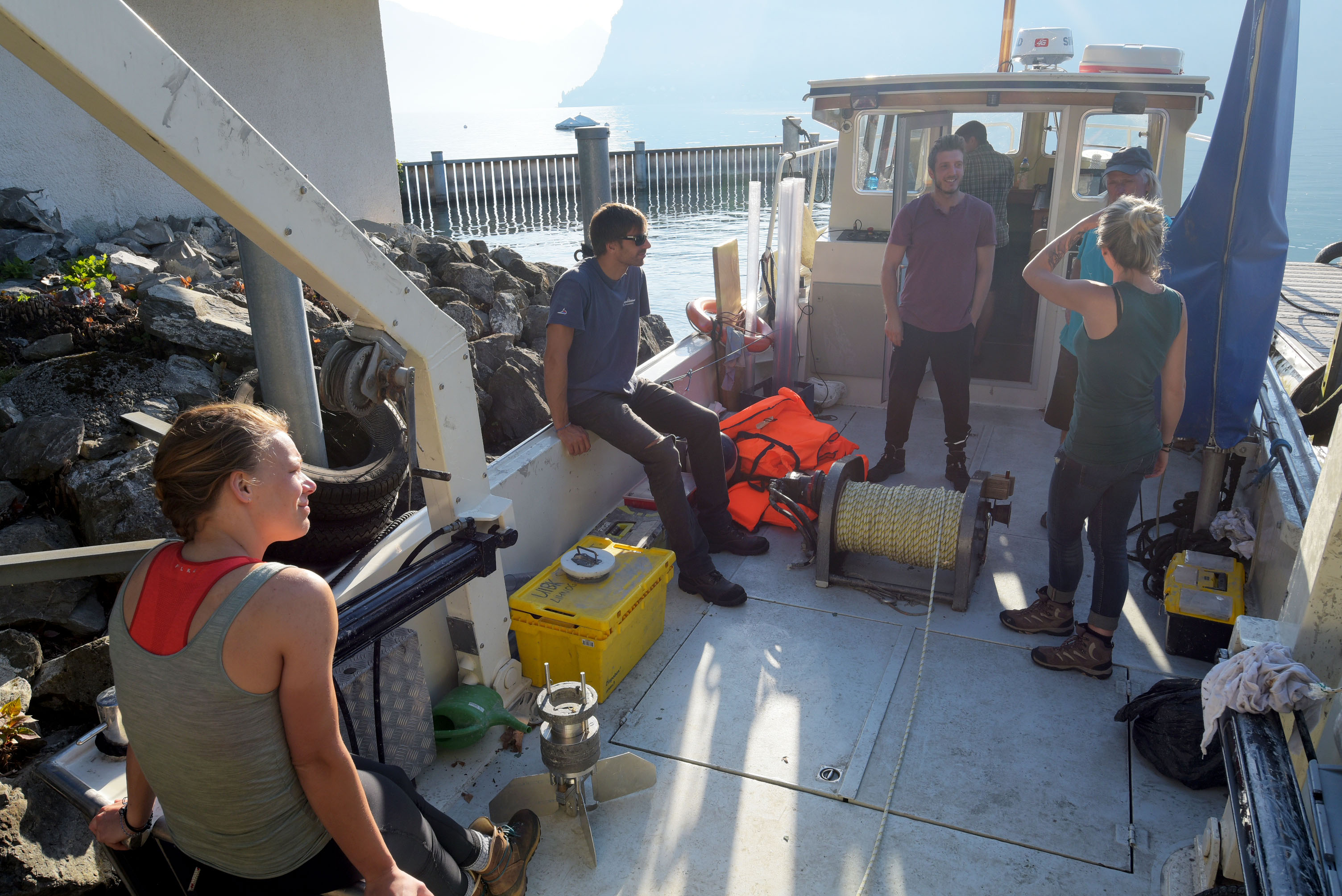
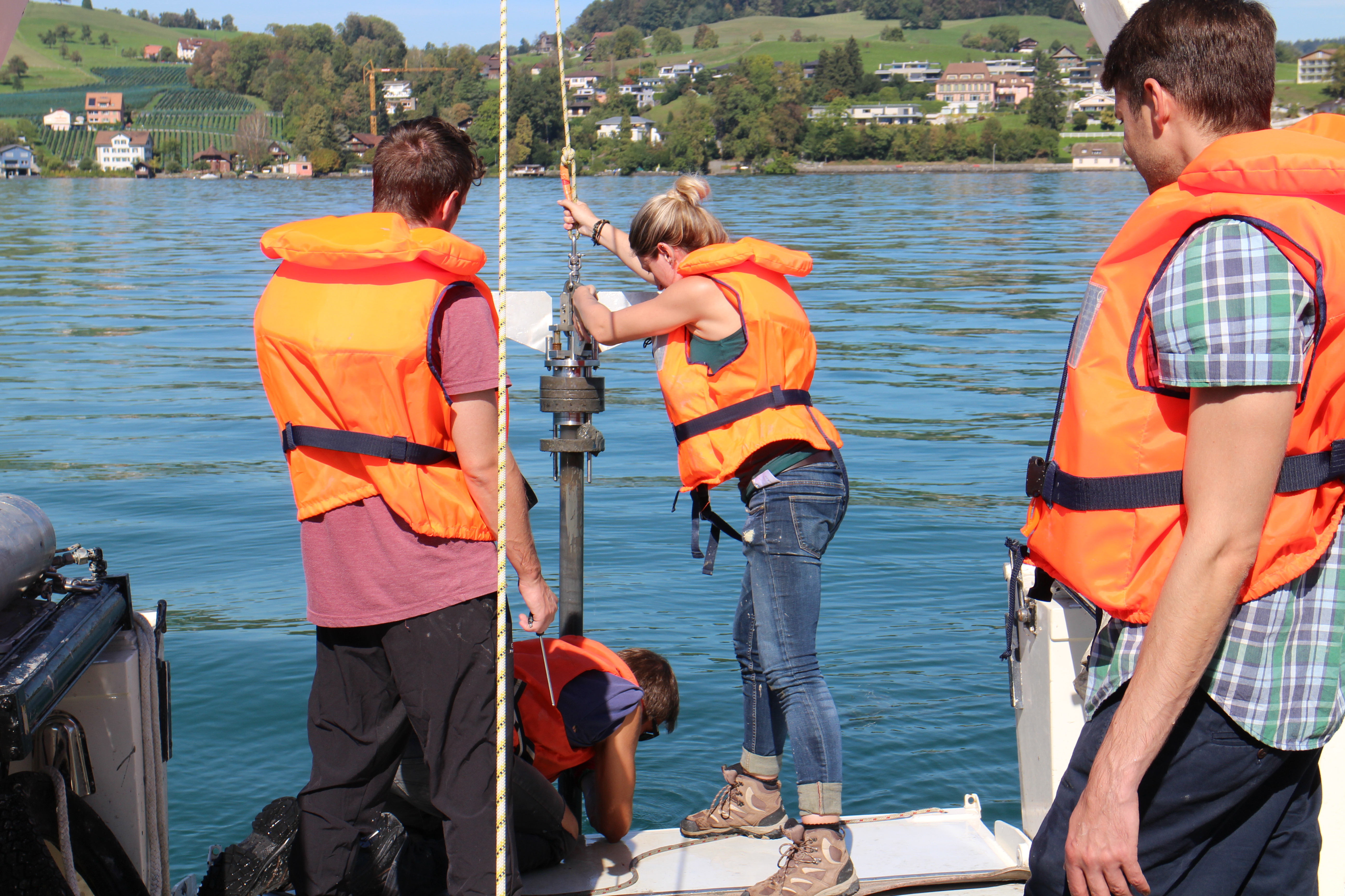
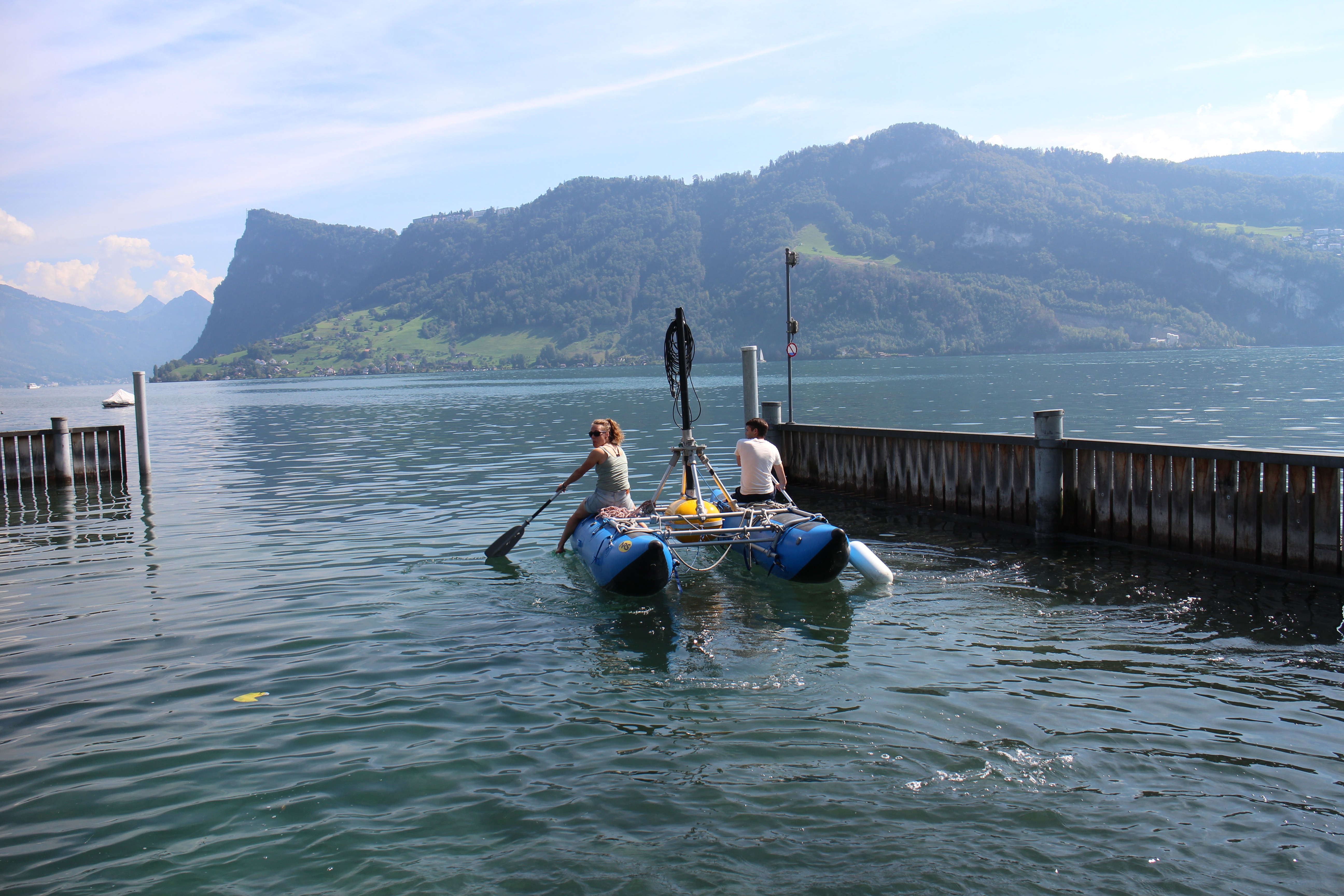
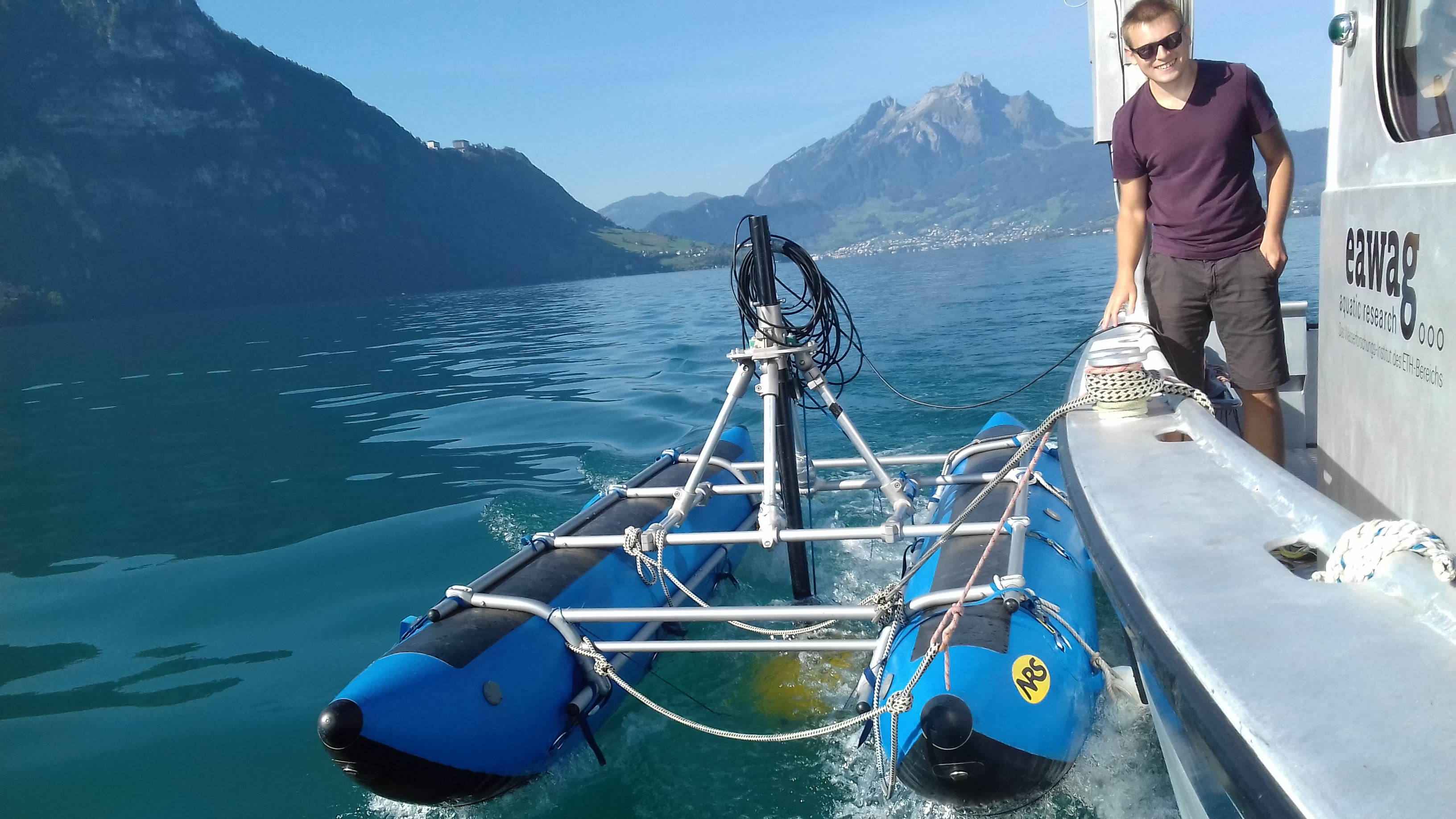
Our project was structured a little differently to the other two groups, due to only having two surveying vessels available. Consequently, we began the field work component of this workshop with half a day of project planning, before acquiring 3.5 kHz seismic profiles, cores and CPTs, and then processing and analyzing the data.

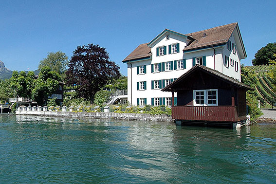
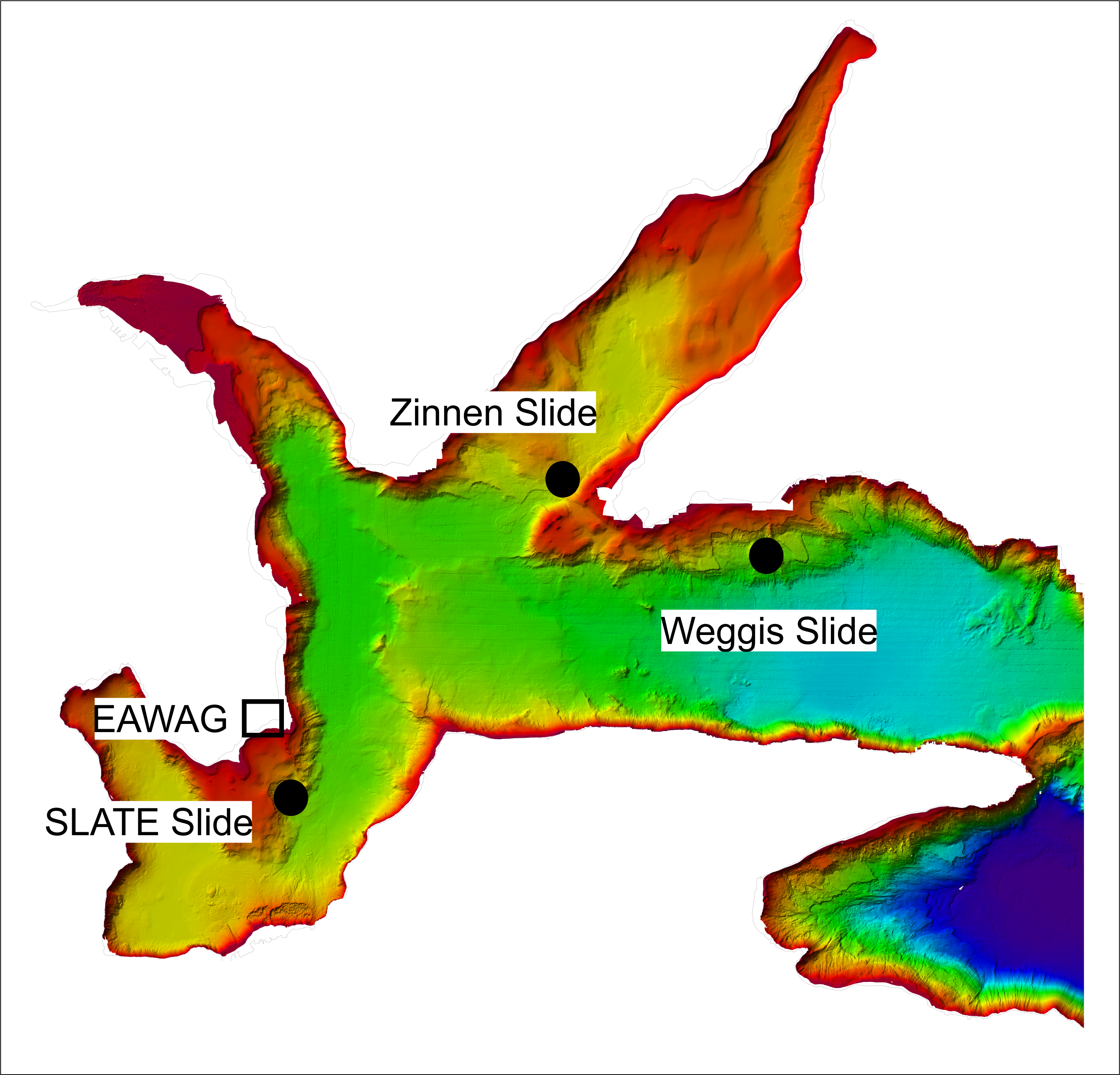
Our study area was just 300 m offshore from EAWAG at Kastanienbaum. A landslide headwall was evident in the multibeam data (see Figure), but few seismic profiles and no cores or CPT data had been acquired in the area, so the landslide (dubbed “SLATE slide” by our team) was relatively unsurveyed. Our aims were to determine the lateral extent and volume of the slide, find out information about the nature of the basal glide plane, and try to constrain the timing of the slide. With this in mind, we constructed a survey plan for the two half days of data collection.

For me, being involved in the project from the initial planning stage was a really valuable experience. We had identify what our key priorities were, and then had to keep coming back to those while surveying, so as to optimize the time spent collecting data. This was especially important when we began to run out of time while collecting 3.5 kHz data due to over-ambitious planning, and was a great exercise in flexible thinking.

Integrating multiple types of data and approaches is critical to getting the full story in any geological area; and so working with core and CPT data was also a helpful learning exercise for me, because, as for Thomas and Matthias, working with these data is not a regular occurrence.

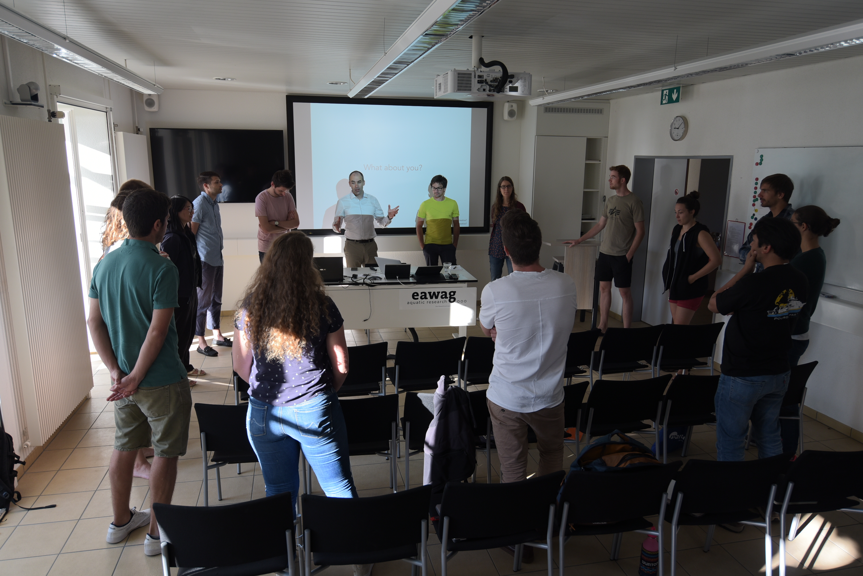
Designing a survey to investigate a landslide, acquiring data, and processing/analyzing that data in such a short time (only two days when we could have easily used one or two weeks) was definitely an ambitious project; however, I think it is safe to say that all fifteen of us learnt something new or developed a skill/skills, and also enjoyed ourselves during the field work exercise.

Related blog posts from the ‘Lake Lucerne Workshop’ blog series


2nd Annual SLATE Workshop
@ EAWAG Kastanienbaum, Switzerland

News, Workshops | 06/09/18

Lake Lucerne Workshop -
why do we actually meet?

ESR 5, ESR 8, News | 25/09/18

Lake Lucerne Workshop -
expert courses

Courses, ESR 11, ESR 12, ESR 2, News | 16/10/18
Location
  • EAWAG Kastanienbaum (Lake Lucerne)

Overview Map

Bathymetric map of Lake Lucerne highlighting slide locations

Impressions