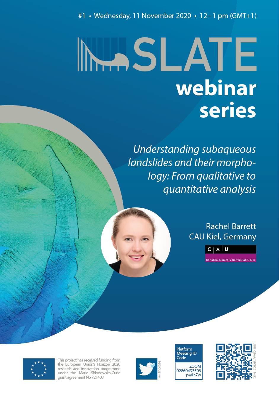
Understanding subaqueous landslides and their morphology: From qualitative to quantitative analysis
SLATE webinar series #1, 11 November 2020
Rachel Barrett
CAU Kiel, Germany
Subaqueous landslides are globally widespread — occurring on continental margins, in lakes, fjords and river deltas, and at volcanic islands — and can destroy critical seafloor infrastructure and marine habitats. Furthermore, they can result in tsunami waves that can have a devastating impact on coastal communities and infrastructure, can transport organic material and pollutants into the deep sea, impact upon hydrocarbon systems, and play a role in defining national economic boundaries. Thus, understanding how subaqueous landslides are emplaced and their potential impact is important both from a hazard mitigation and an economic perspective. The morphology and geometry of a landslide deposit provides key information about how it was emplaced, but our understanding of these factors depends heavily on data coverage and resolution. In the first part of my talk, I will present laterally extensive, high-resolution 3D seismic data from the Tampen Slide, offshore Norway. These data show that the prodigious volume of the Tampen Slide (>1,000 km3) is largely the result of a single failure along a single glide plane. This differs significantly from other megaslides, whose large total volumes seem to be the result of numerous small volume retrogressive failures, and has important implications for our understanding of how large landslides may fail. Furthermore, the high resolution of the data enables the morphology of the Tampen Slide to be investigated in detail, and we identify regions of spreading and compression (cross-slope ridges), as well as longitudinal (down-slope orientated) chutes and ridges that are >40 m higher than the surrounding deposits — the first time that longitudinal ridges of this scale have been identified in a deep marine setting. Some morphological features, such as elongated ridges related to lateral-margin compression, toe compression, and extension (spreading) form through entirely different processes, but appear to have similar geomorphology. As geomorphology is widely used to infer information about the formative process, it is important that it is correctly interpreted. This poses a particular problem in areas of low data coverage, or for very large landslides, which may have failed in multiple stages. In the second part of this talk, I present a quantitative method for distinguishing between spreading and compressional ridges in subaqueous landslide deposits. Our results demonstrate a quantitative link between the morphology and formative processes responsible for spreading, toe-compression, and lateral-margin compressional ridges. The application of quantitative methodology such as this represents an important step towards reducing the subjectivity that is often inherent in the analysis of subaqueous landslide deposits.