
2018
04/12/18
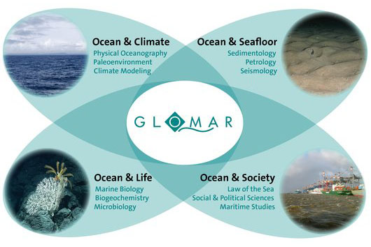
GLOMAR – the Bremen International Graduate School of Marine Sciences
Courses, ESR 11, ESR 7, ESR 9, News
Courses, ESR 11, ESR 7, ESR 9, News

16/10/18
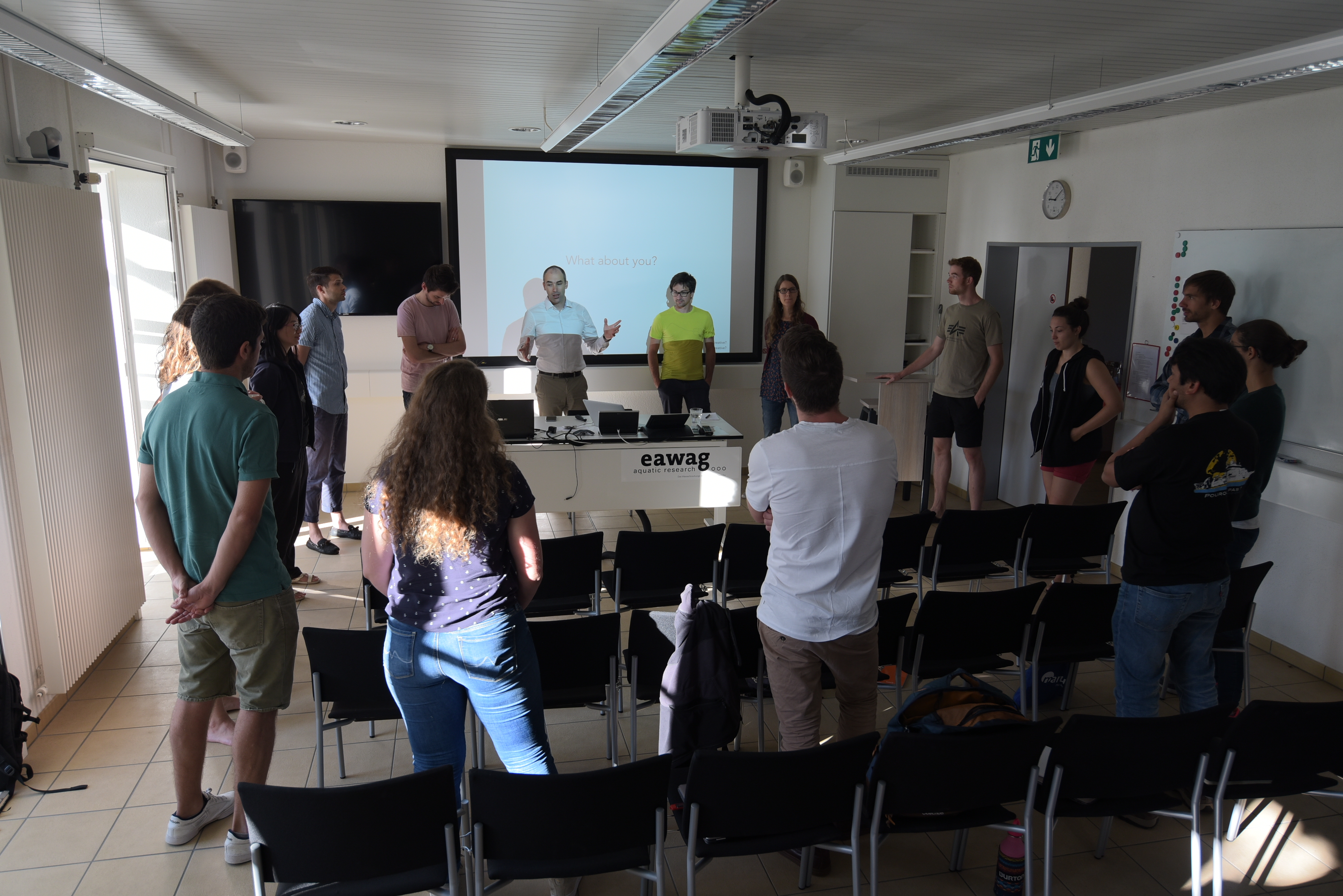
Lake Lucerne Workshop –
expert courses
Courses, ESR 11, ESR 12, ESR 2, News
expert courses
Courses, ESR 11, ESR 12, ESR 2, News
2017
24/11/17
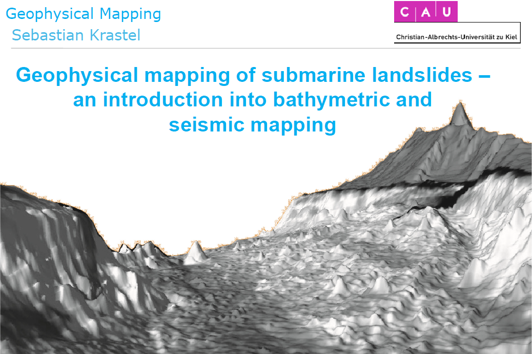
SLATE Expert Course @ Kickoff-Workshop
Geophysical mapping of submarine landslides
Courses, News
Geophysical mapping of submarine landslides
Courses, News
23/11/17
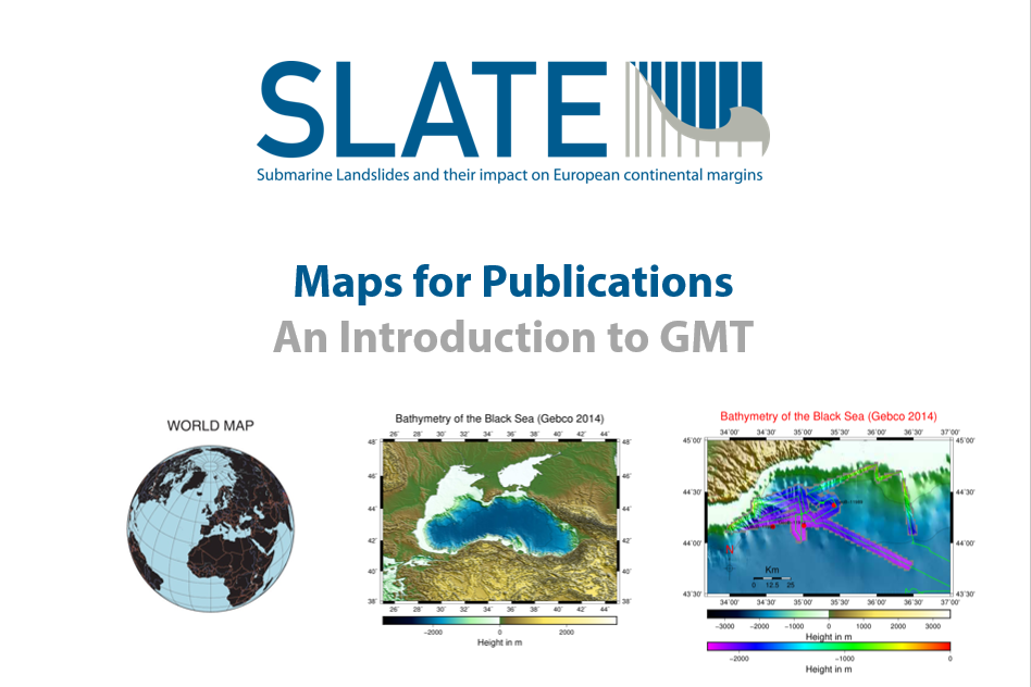
SLATE Expert Course @ Kickoff-Workshop
Maps for publications – an introduction to GMT
Courses, News
Maps for publications – an introduction to GMT
Courses, News