ESR 14
@ Vienna, Austria (07 – 12 April 2019) | 2019-07-23
A GUIDE AROUND EGU 2019
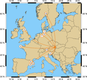
ESR1, ESR 2, ESR 3, ESR 4, ESR 5, ESR 6, ESR 7, ESR 8, ESR 9, ESR 12, ESR 13, ESR 14, ESR15 | @ VIENNA, AUSTRIA (7-12 April 2019)
“The EGU General Assembly 2019 was a great success with 5,531 oral, 9,432 poster, and 1,287 PICO presentations that were attended by 16,273 scientists from 113 countries” (Copernicus Meetings, 2019).
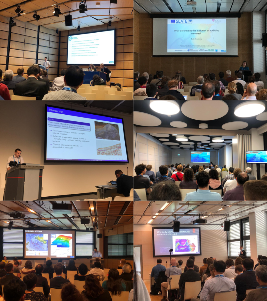
SLATE was well represented with 12 PhD candidates, PIs (Achim Kopf, Michael Clare, Carl Harbitz, Finn Lovholt, Michael Strasser) and Aggeliki Georgiopoulou from the advisory board presenting their work.
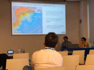
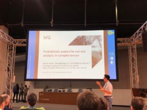
 Presenting our work
Rachel, Jonathan, Tugdual, Shray, Kate, William and Matthias drew crowds of people into the lecture rooms with their amazing presentations. They spoke on a variety of topics; covering different aspects of turbidites and their evolution, contourites and submarine landslides.
 “I was very happy to be able to present my work at this conference, as it gives an occasion to present our work in front of a wide audience with very diverse backgrounds. I came out with very good feedback and advice for my work.” (Tugdual Gauchery, ESR 3)
„It was my first time at the EGU and it was overwhelmingly large. I had the opportunity to talk to several researchers after my talk – it is always good to get feedback on both the positive and negative parts of ones research.” (Shray Badhani, ESR 4)
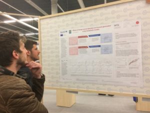
Davide, Ting-Wei, Stefano, Ricarda and Maddalena presented their work in the poster sessions and attracted a lot of people.
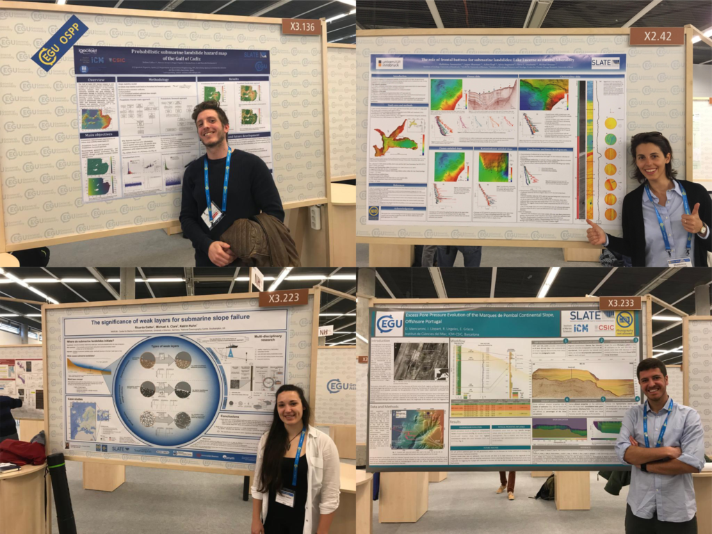
“Presenting a poster at a conference like EGU is a great learning opportunity for any early career scientist. On one hand, I had the chance to discuss my research with people working in the same research field and to meet scientists I had only known from reading their papers. What surprised me the most, however, were the questions I got from scientists specialized in completely different fields, looking at my project from a prospective I do not usually consider. People who were just randomly walking around posters asked me the most challenging questions, highlighting issues that I never considered before, but that helped me to have a more complete understanding of what I am studying.” (Davide Mencaroni, ESR 6)
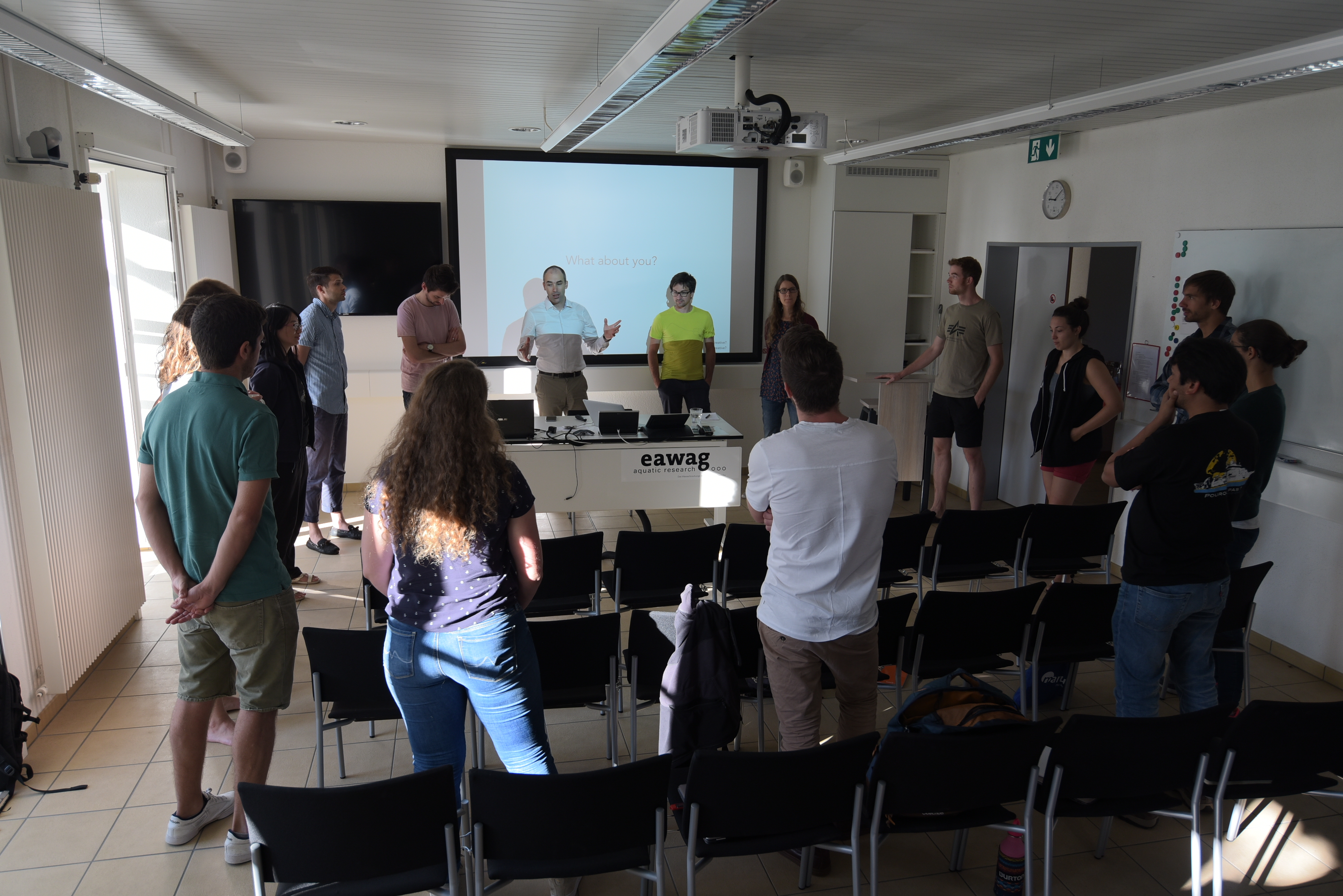
And learning new thingsApart from presenting our own work, we took the opportunity to learn more about work from outside our own fields. Alongside the traditional poster and oral presentations, EGU also hosts so called “PICO” presentations (Presenting Interative COntent) and short courses on more general topics in science.
“One thing that I really enjoyed about EGU were the PICO sessions. PICOs start with quick-fire two minute presentations from each researcher to briefly introduce their topic and state their main conclusions. After, everyone moves across to the interactive area, where each presenter has their own workstation and large screen. This really facilitates discussion and allows for more flexibility that a standard poster or talk. For me, the PICO sessions are a great way to be introduced to an unfamiliar area, because the results are presented up front and you get to see a rapid cross section of the state-of-the-art in a particular field.” (Jonathan Ford, ESR 2)
“It was a great opportunity to get some insights from overlapping, but vastly different, fields. For instance to see what the current state of research in Powder Snow Avalanches is, or to get some background knowledge on numerical modelling in turbidity currents as preparation for my secondment at NGI.” (Kate Heerema, ESR 5)
“One of the most exciting sessions I attended was on the recent tsunami events in Sulawesi and West Java (Krakatao), Indonesia (Blog). Although most of the group seemed to agree that these tsunami events were, in fact, submarine landslide-related, there was some surprisingly lively pushback from at least one seasoned researcher. I think the overall tsunami community seems to be experiencing a small paradigm shift in how they think about tsunami hazards. I also enjoyed stopping by different poster sessions related to tsunami hazards and had some great networking conversations with a group of researchers from Singapore about their work and how it relates to some tsunami survey work that I previously did as a master’s student” (William Meservy, ESR 12)
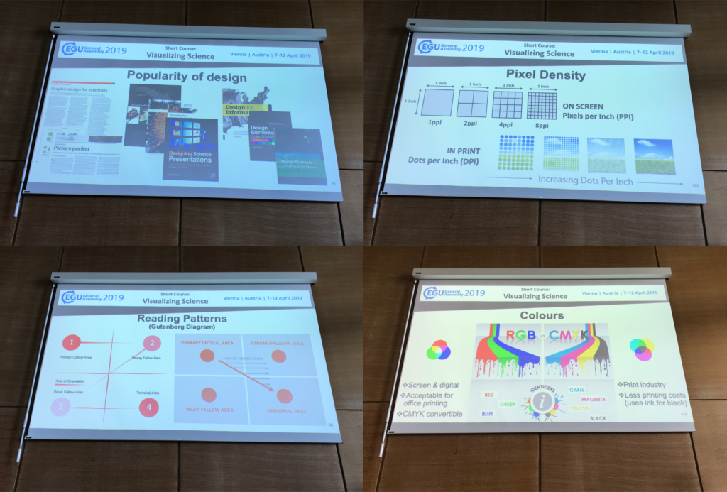
“I went to three courses, of which I especially liked the “Visualizing Science” course. I think we often forget how important it is to present our research to other scientists, as well as to the general public.” (Ricarda Gatter, ESR 9)
“The quantity and variety of soft skill courses available at the EGU undoubtedly adds value to the conference. I attended a course about communicating science with the general public and enjoyed hearing different perspectives about what effective communication looks like, and how that can take different forms. One point that stood out was the value of knowing when it is worthwhile to get the assistance of people who are trained in communication, such as journalists, to communicate significant results.” (Rachel Barrett, ESR 1)
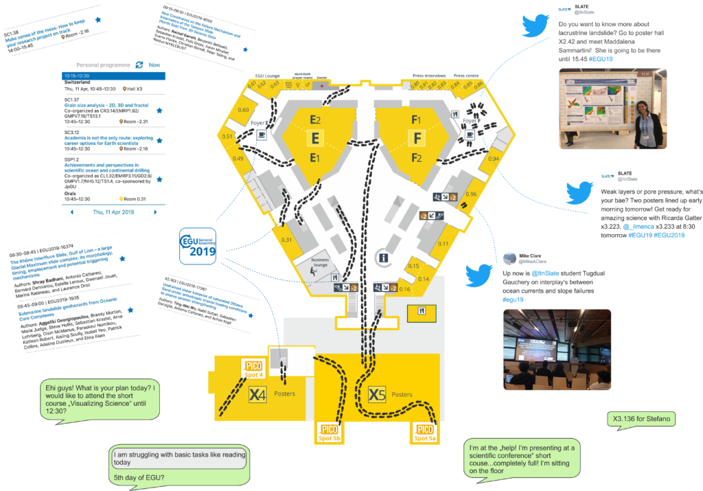
Need help to find your way around? - use the EGU AppFinding your way around a big conference such as EGU can be difficult. Luckily, there was an app available in which you could find all the contributions and put together your personal programme. In addition, we kept everybody up to date with our own contributions via Twitter.
“I knew that EGU is the most important Geoscience conference in Europe, but I didn’t expect something like this. It was difficult not to be impressed by the amount of different topics and talks, but above all, I was struck by the hundreds of posters that everyday are hanging in these huge rooms.” (Maddalena Sammartini, ESR 15)
To sum it up“I was honestly impressed by the EGU conference. It was the perfect environment to discuss a wide range of research topics and learn about other researchers’ PhD experiences.” (Stefano Collico, ESR 8)
“It is such a great international experience. I even met my friends from my home university in India. I am already looking forward to EGU2020.” (Shray Badhani, ESR 4)
“One of the highlights of the experience for me was that I was lucky enough to be able to bring my wife and kids along to explore Vienna. In the evenings, we were able to walk in the city together and eat a lot of goulash and Viennese chocolate cake” (William Meservy, ESR 12)
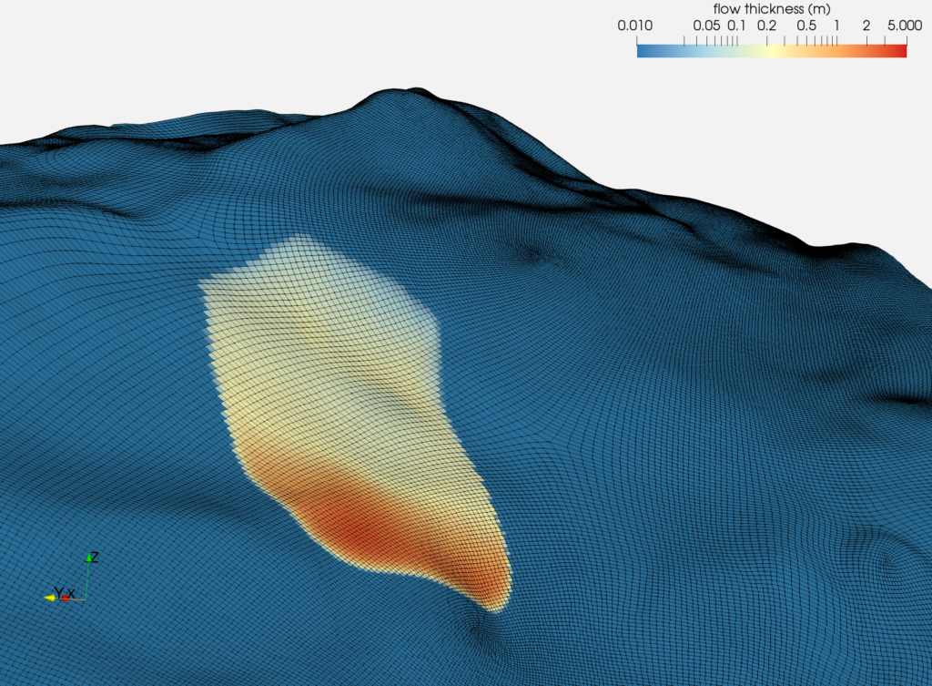
“EGU is an essential event for every geoscientist working Europe. It is the perfect opportunity to meet new people with common interests, present the latest progress of your work, get valuable feedback and to foster old friendships” (Matthias Rauter, ESR 14)
EGU - Let's meet again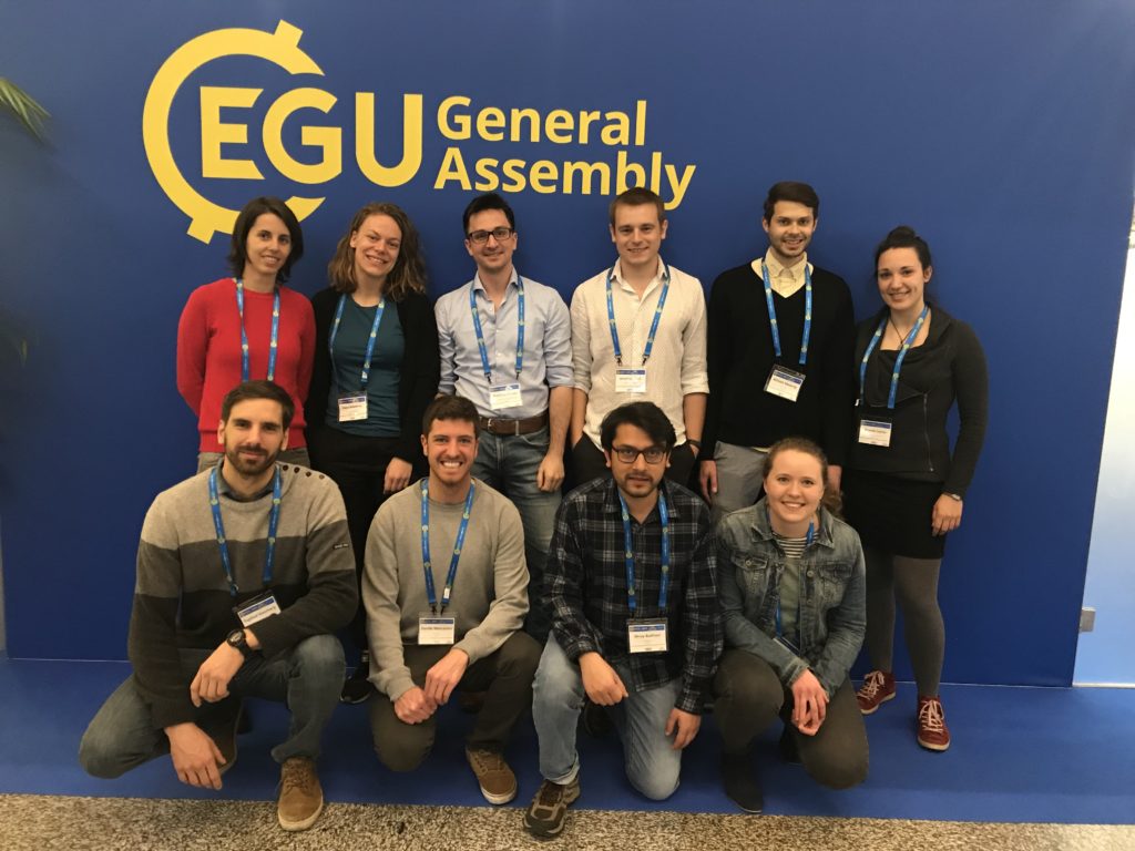 Location
- Vienna, Austria
 Conference Schedule
SLATE participants
ESRs:
Conference Schedule
SLATE participants
ESRs:
- R. Barrett, ESR1 [Talk]
- J. Ford, ESR2 [Talk]
- T. Gauchery, ESR3 [Talk]
- S. Badhani, ESR4 [Talk]
- K. Heerema, ESR5 [Talk]
- D. Mencaroni, ESR6 [Poster]
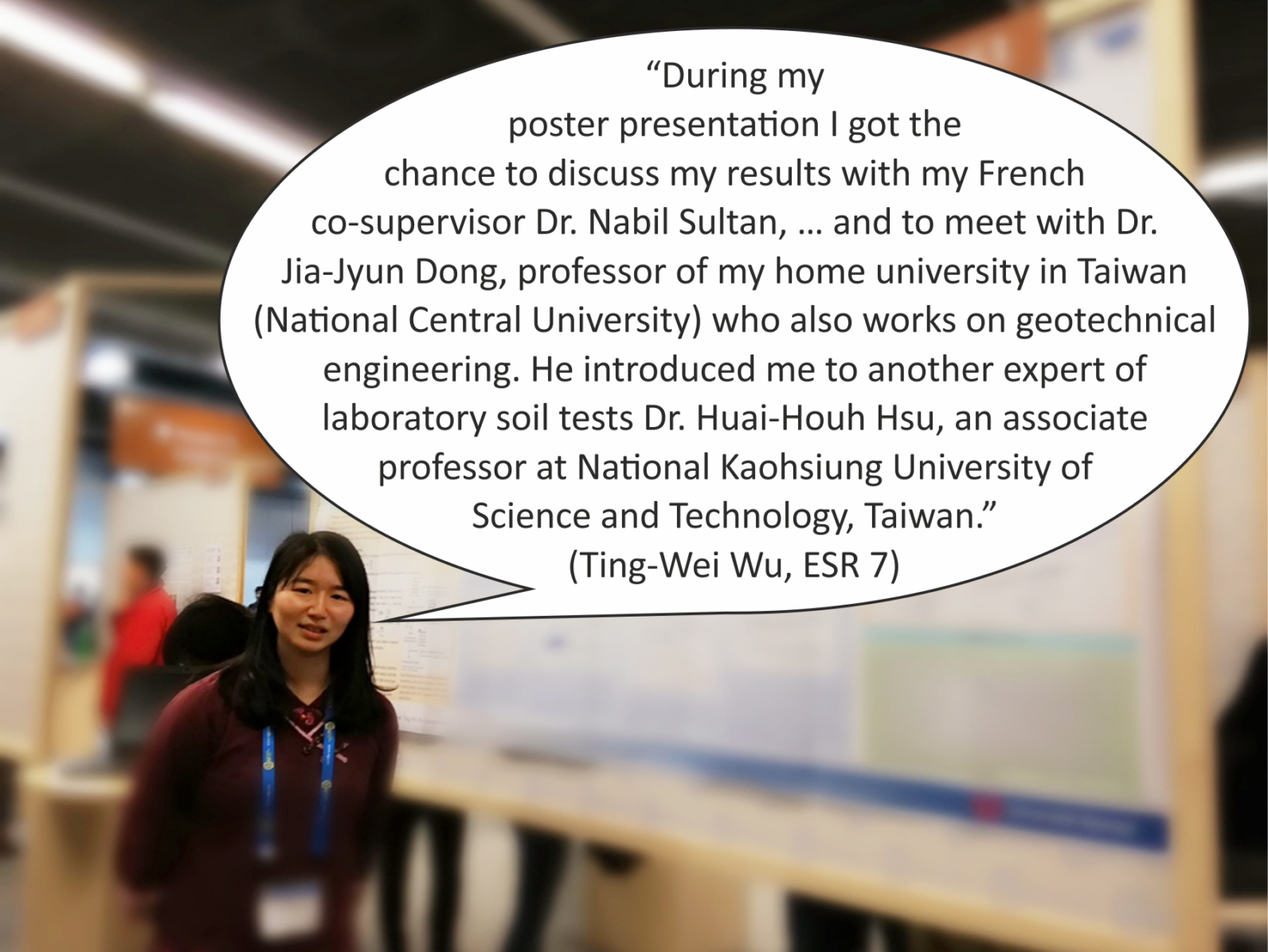
- T-W Wu, ESR7 [Poster]
- S. Collico, ESR8 [Poster]
- R. Gatter, ESR9 [Poster]
- W. Meservy [Talk]
- T. Zengaffinen, ESR13 [Poster]
- M. Rauter, ESR14 [Talk]
- M. Sammartini, ESR15 [Poster]
- A. Kopf, PI of ESR7 [Poster]
- M. Clare, PI of ESR10 [PICO]
- C. Harbitz, PI of ESR13
- F. Løvholt, PI of ESR14 [Poster]
- F. Løvholt, PI of ESR14 [Convener]
- M. Strasser, PI of ESR15
- A. Georgiopoulou, Advisory Board [Talk]
@ RWTH Aachen, Germany | 2019-02-19
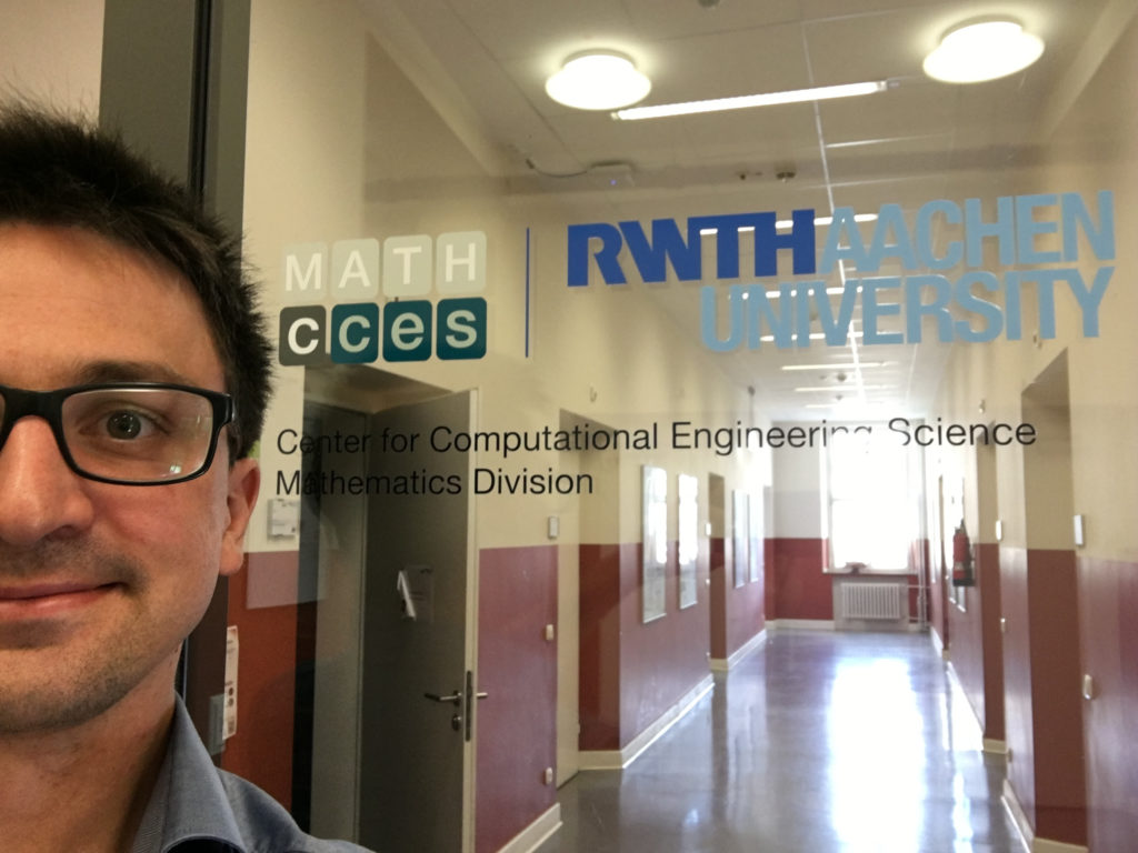
Matti's short visit at rwth aachen
Matthias Rauter, ESR 14 | @ RWTH Aachen, Germany (24.-26. September 2018)

 I have been in contact with Julia Kowalski ever since a memorable meeting in front of my poster at EGU2017. Julia is well known for the development of RAMMS, probably the most popular simulation tool for avalanches and debris flows. Now Julia is Junior Research Group Leader at RWTH Aachen University, working on landslides, melting ice in outer space (Yes, rocket science!) and the mathematics behind it.
Aachen is located in the middle of Europe and one of the leading universities of technology in Europe. I was correspondingly excited for being invited by Julia to present my work on OpenFOAM. The SLATE workshop provided the perfect opportunity for a short visit on my way back.
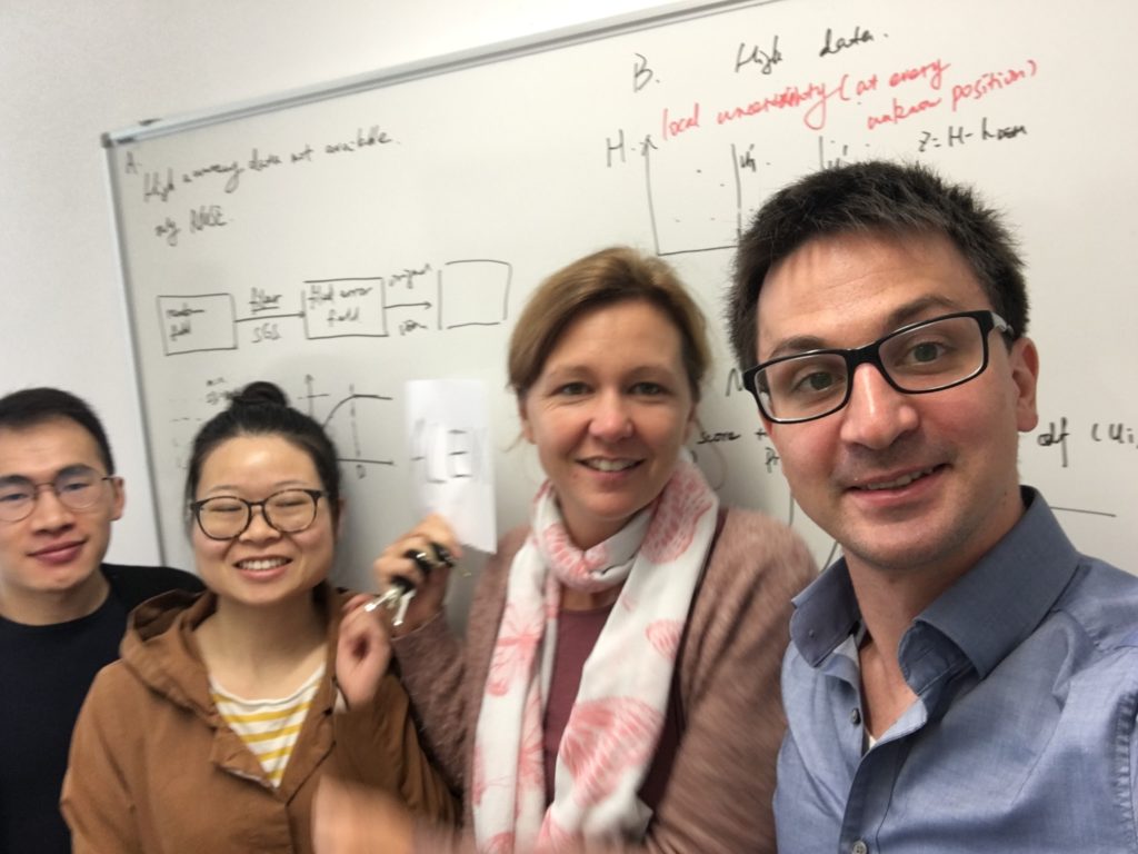
The two-day stay was filled with intense discussions and a vivid exchange of ideas, insights and code. We covered a wide range of topics: wave propagation with volume of fluid methods, operational application of OpenFOAM, velocity profiles and arbitrary topography in depth-integrated models.
Moreover, a lot of attention was given to my most beloved/hatred topic: Meshing! A mesh is required to present topography in numerical simulations. This does not only include geometry but also topography of numerical fields. Thus, the quality and stability of numerical simulations depends heavily on the mesh. Surface meshing of natural terrain for landslide simulations is a notoriously difficult task! I spend months on generating and evaluating meshes for my OpenFOAM landslide solver, honestly, without any considerable progress.
Therefore, I was very excited to see the progress that has been achieved at RWTH Aachen in terms of meshing. In collaboration with the Visual Computation Institute (https://www.meshing.rwth-aachen.de/) they generate high-quality block-structured meshes (https://www.openmesh.org/) of natural terrain. My OpenFOAM solver can take advantage of such meshes and I look forward to see the respective simulations.
Where?
When?
I have been in contact with Julia Kowalski ever since a memorable meeting in front of my poster at EGU2017. Julia is well known for the development of RAMMS, probably the most popular simulation tool for avalanches and debris flows. Now Julia is Junior Research Group Leader at RWTH Aachen University, working on landslides, melting ice in outer space (Yes, rocket science!) and the mathematics behind it.
Aachen is located in the middle of Europe and one of the leading universities of technology in Europe. I was correspondingly excited for being invited by Julia to present my work on OpenFOAM. The SLATE workshop provided the perfect opportunity for a short visit on my way back.
The two-day stay was filled with intense discussions and a vivid exchange of ideas, insights and code. We covered a wide range of topics: wave propagation with volume of fluid methods, operational application of OpenFOAM, velocity profiles and arbitrary topography in depth-integrated models.
Moreover, a lot of attention was given to my most beloved/hatred topic: Meshing! A mesh is required to present topography in numerical simulations. This does not only include geometry but also topography of numerical fields. Thus, the quality and stability of numerical simulations depends heavily on the mesh. Surface meshing of natural terrain for landslide simulations is a notoriously difficult task! I spend months on generating and evaluating meshes for my OpenFOAM landslide solver, honestly, without any considerable progress.
Therefore, I was very excited to see the progress that has been achieved at RWTH Aachen in terms of meshing. In collaboration with the Visual Computation Institute (https://www.meshing.rwth-aachen.de/) they generate high-quality block-structured meshes (https://www.openmesh.org/) of natural terrain. My OpenFOAM solver can take advantage of such meshes and I look forward to see the respective simulations.
Where?
When?
- 24-26/09/2018
Let's get muddy! | 2018-10-09
LAKE LUCERNE FIELD TRIP - LET'S GET MUDDY!
Rachel Barrett (ESR 1) , Thomas Zengaffinen (ESR 14), Matthias Rauter (ESR 15) | @ Lake Lucerne, Switzerland (3 October 2018)
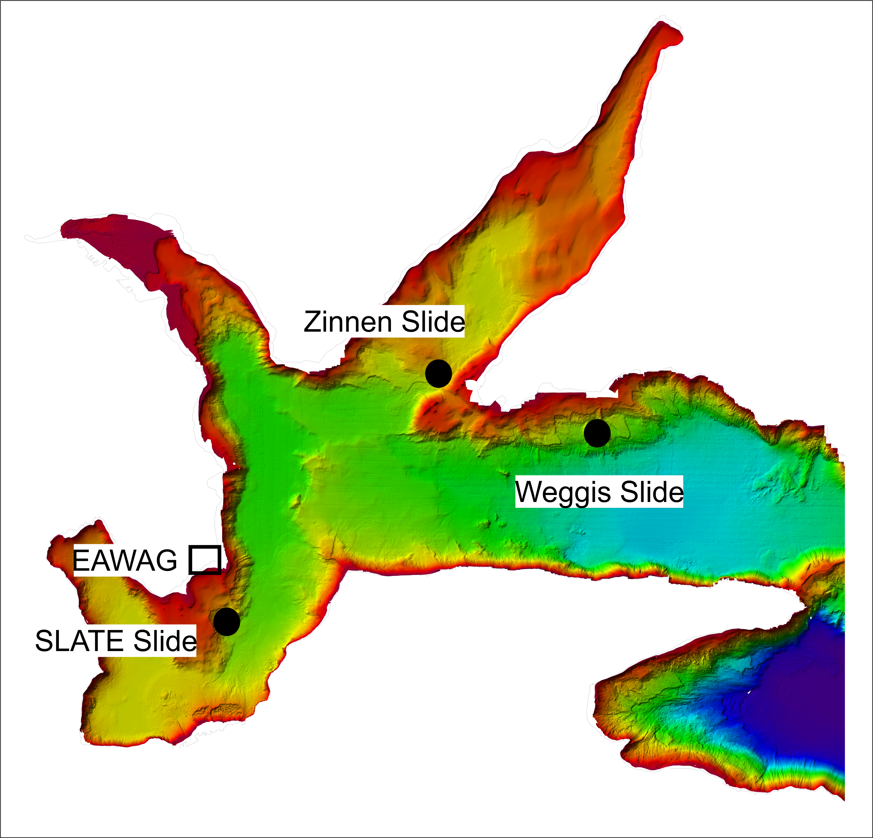
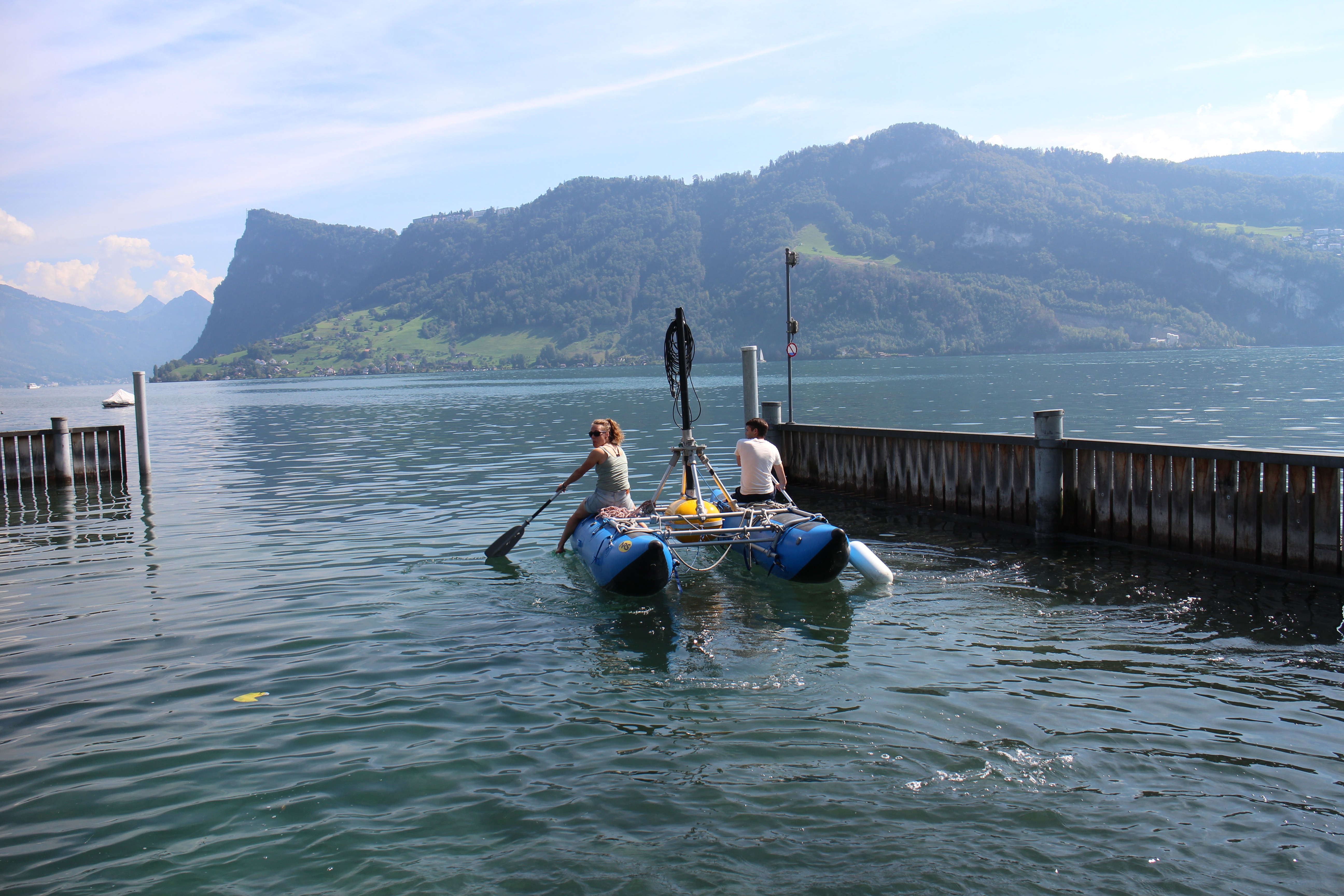
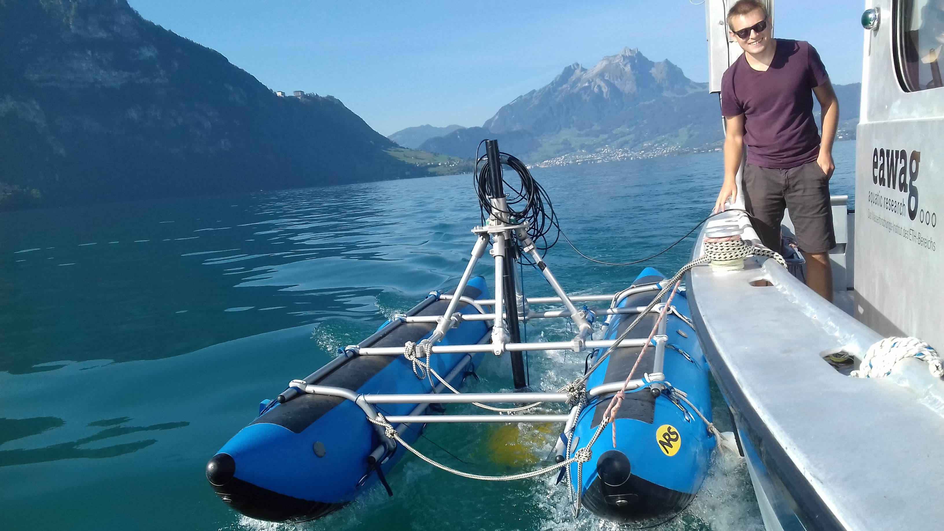
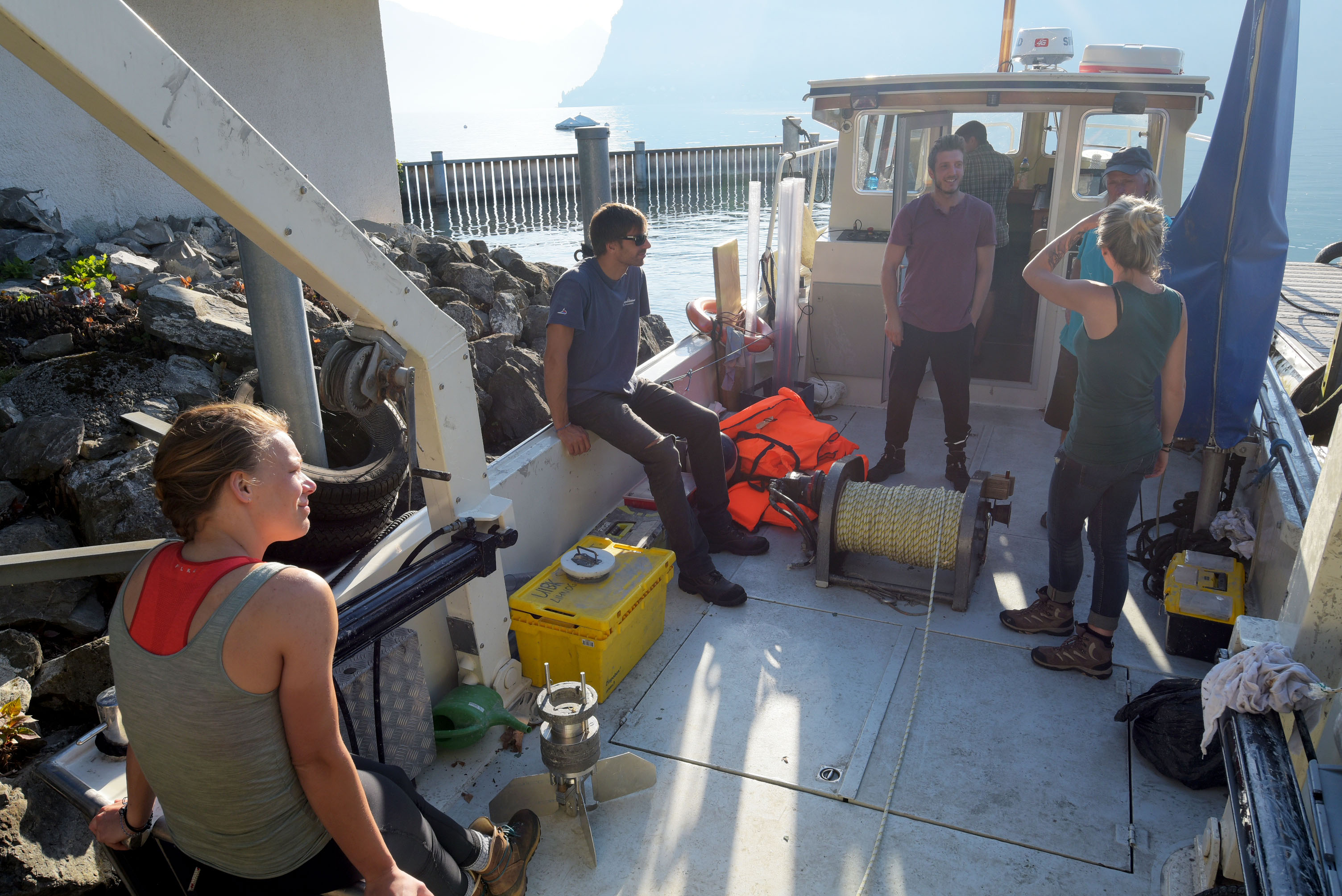
We spent our second annual workshop at EAWAG Kastanienbaum on the edge of Lake Lucerne, Switzerland (see previous posts). One component of this workshop was a field trip, where we split into three groups of five, and studied lacustrine landslides in three separate regions of Lake Lucerne. All the groups spent a day out on the lake collecting cores, 3.5 kHz seismic data and CPT data in their regions of interest, before processing the data and attempting to answer questions about slope stability (Weggis Slide), failure and flow mechanics (Zinnen Slide), the timing and lateral extent of the slide (Kastanienbaum, i.e. "SLATE Slide").
Weggis Slide Thomas Zengaffinen
ESR 13
Thomas Zengaffinen
ESR 13
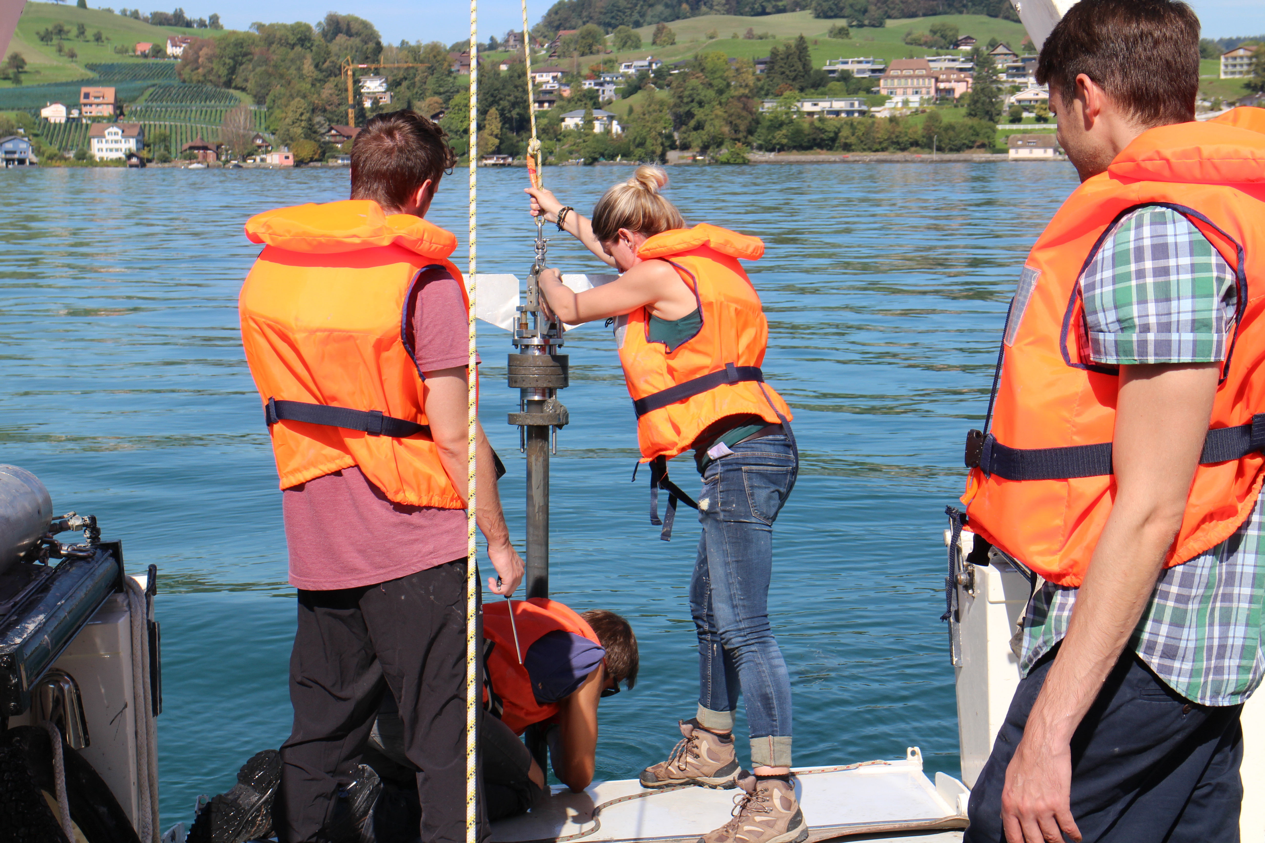
In this region, our aim was to assess the sediment stability by getting shear strength profiles of unfailed sediment layers. We began by collecting 3.5 kHz seismic data in the region of interest. This data showed past landslide deposits and unfailed terraces, which could be potential future landslide sediments. After studying the seismic sections, we decided on where to characterise the sediments by taking 1m deep sediment cores and measuring shear strength at about 4m depth. The next step was to open the collected cores, and then describe and interpret the observed layering.
In addition, we did Cone Penetration Tests (CPTs) at regular increments of a few centimeters along the core; the results of which could be converted into measurements of shear strength. This procedure resulted in shear strength profiles of the lake subsurface sediments at our decided spots.
This kind of analysing landslide sediments is not part of my daily work in Oslo. What I am working on in Oslo is simulating the landslide rather than working with sediments itself. Nevertheless, it was a qualitative experience that added to my modelling project. I got a feeling of how the mass of my simulated landslide may look like and how measurements of the slide mass are taken. All in all, this field trip gave me a new point of view of landslides. Working with sediment cores and assessing slope stabilities is a complementary discipline to my modelling project. I now have a broader understanding of my own project, and of the entire SLATE project.
Zinnen Slide Matthias Rauter
ESR 14
Matthias Rauter
ESR 14
My group investigated a slope a short distance west of the Weggis slide. The bathymetry of the slope shows multiple slides, presumably dating back to the earthquake of 1601. The slide scars are interrupted by stripes of unfailed sediment, giving the slope the look of battlements/towers (German: Zinnen) in the bathymetry. This particular feature makes the slope very interesting for our investigations. The unfailed areas allow us to investigate the pre-failure situation, layering and, to some extent, shear strength. The failed areas, on the other hand, allow insights into failure mechanisms and flow dynamics. The combination of both unfailed and failed slope areas gives a comprehensive recording of the 1601 landslide event. Furthermore, this slope provides us with valuable information for model validation, as the situation both before and after the event can be reconstructed from sediments.
We took seismic profiles, extracted core samples and performed CPTs in the slide deposit region and also in undisturbed sediments nearby. The results of this survey amazed me, as a model developer who has never been involved in field work; the data gave us a detailed view of undisturbed, compressed and sheared sediments, as well as debris flow and turbidity current deposits. I would never have expected to find such a detailed history of a landslide event in 400 year old sediments.
This experience changed my view on experimental geology substantially and I look forward to recalculate this or a similar event with models that we will develop over the next few years.
SLATE Slide Rachel Barrett
ESR 1
Rachel Barrett
ESR 1
Our project was structured a little differently to the other two groups, due to only having two surveying vessels available. Consequently, we began the field work component of this workshop with half a day of project planning, before acquiring 3.5 kHz seismic profiles, cores and CPTs, and then processing and analyzing the data.
Our study area was just 300 m offshore from EAWAG at Kastanienbaum. A landslide headwall was evident in the multibeam data (see Figure), but few seismic profiles and no cores or CPT data had been acquired in the area, so the landslide (dubbed "SLATE slide" by our team) was relatively unsurveyed. Our aims were to determine the lateral extent and volume of the slide, find out information about the nature of the basal glide plane, and try to constrain the timing of the slide. With this in mind, we constructed a survey plan for the two half days of data collection.
For me, being involved in the project from the initial planning stage was a really valuable experience. We had identify what our key priorities were, and then had to keep coming back to those while surveying, so as to optimize the time spent collecting data. This was especially important when we began to run out of time while collecting 3.5 kHz data due to over-ambitious planning, and was a great exercise in flexible thinking.
Integrating multiple types of data and approaches is critical to getting the full story in any geological area; and so working with core and CPT data was also a helpful learning exercise for me, because, as for Thomas and Matthias, working with these data is not a regular occurrence.
Designing a survey to investigate a landslide, acquiring data, and processing/analyzing that data in such a short time (only two days when we could have easily used one or two weeks) was definitely an ambitious project; however, I think it is safe to say that all fifteen of us learnt something new or developed a skill/skills, and also enjoyed ourselves during the field work exercise.
Related blog posts from the 'Lake Lucerne Workshop' blog series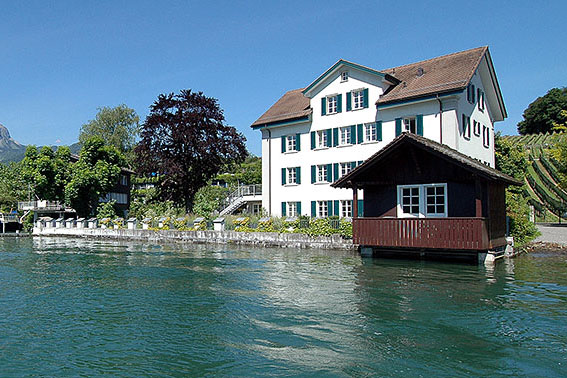
- EAWAG Kastanienbaum (Lake Lucerne)